Pusztazámor | |
|---|---|
 Coat of arms | |
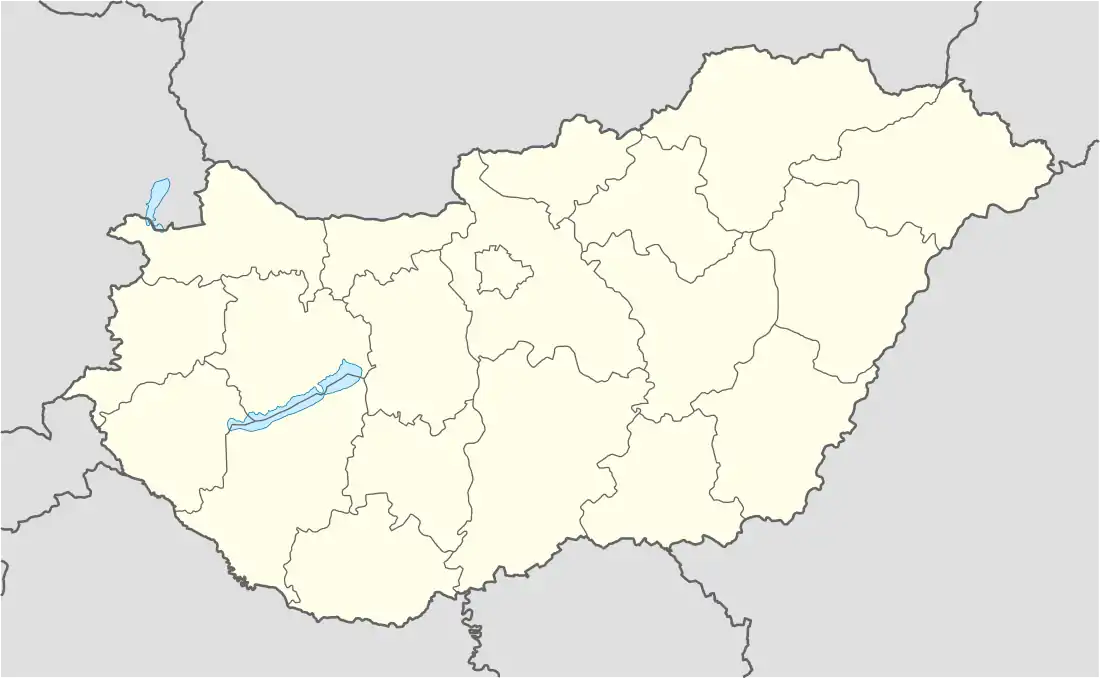 Pusztazámor Location of Pusztazámor in Hungary | |
| Coordinates: 47°24′11″N 18°46′57″E / 47.40292°N 18.78263°E | |
| Country | Hungary |
| Region | Central Hungary |
| County | Pest |
| Subregion | Budaörsi |
| Rank | Village |
| Area | |
| • Total | 9.28 km2 (3.58 sq mi) |
| Population (1 January 2008)[2] | |
| • Total | 1,157 |
| • Density | 120/km2 (320/sq mi) |
| Time zone | UTC+1 (CET) |
| • Summer (DST) | UTC+2 (CEST) |
| Postal code | 2039 |
| Area code | +36 23 |
| KSH code | 15583[1] |
| Website | www.pusztazamor.hu |
References
- 1 2 Pusztazámor at the Hungarian Central Statistical Office (Hungarian).
- ↑ Pusztazámor at the Hungarian Central Statistical Office (Hungarian). 1 January 2008
47°24′N 18°47′E / 47.400°N 18.783°E
This article is issued from Wikipedia. The text is licensed under Creative Commons - Attribution - Sharealike. Additional terms may apply for the media files.