| Puka Urqu | |
|---|---|
 Puka Urqu Location within Bolivia | |
| Highest point | |
| Elevation | 3,760 m (12,340 ft)[1] |
| Coordinates | 19°34′11″S 65°52′24″W / 19.56972°S 65.87333°W |
| Geography | |
| Location | Bolivia, Potosí Department |
| Parent range | Andes |
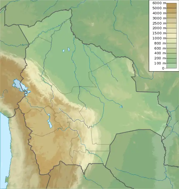
Puka Urqu (Quechua puka red, urqu mountain,[2] "red mountain", also spelled Puca Orkho) is a mountain in the Bolivian Andes which reaches a height of approximately 3,760 m (12,340 ft). It is located in the Potosí Department, Tomás Frías Province, Yocalla Municipality. Puka Urqu lies at the Ingenio Mayu north of Kunturiri.[1][3]
References
- 1 2 Bolivian IGM map 1:50,000 Potosí (Oeste) 6435-III
- ↑ Teofilo Laime Ajacopa (2007). Diccionario Bilingüe: Iskay simipi yuyayk’anch: Quechua – Castellano / Castellano – Quechua (PDF). La Paz, Bolivia: futatraw.ourproject.org.
- ↑ "Yocalla". INE, Bolivia. Archived from the original on May 8, 2016. Retrieved May 4, 2016.
Capital: Potosí | ||
| Provinces | 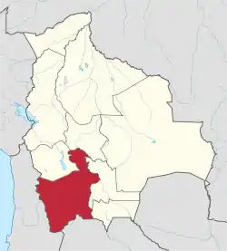 | |
| Municipalities (and seats) |
| |
This article is issued from Wikipedia. The text is licensed under Creative Commons - Attribution - Sharealike. Additional terms may apply for the media files.