Puerto Lleras | |
|---|---|
Municipality and town | |
.svg.png.webp) Flag  Seal | |
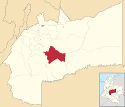 Location of the municipality and town of Puerto Lleras in the Meta Department of Colombia. | |
| Country | |
| Department | Meta Department |
| Area | |
| • Total | 2,061 km2 (796 sq mi) |
| Elevation | 450 m (1,480 ft) |
| Population (Census 2018[2]) | |
| • Total | 8,982 |
| • Density | 4.4/km2 (11/sq mi) |
| Time zone | UTC-5 (Colombia Standard Time) |
| Climate | Am |
Puerto Lleras is a town and municipality in the Meta Department, Colombia.
The town[3][4] is on the Ariari River, and is served by Puerto Lleras Airport.
References
- ↑ "Municipalities of Colombia". statoids. Retrieved 10 May 2020.
- ↑ "Censo Nacional de Población y Vivienda 2018" (in Spanish). DANE. Retrieved 10 May 2020.
- ↑ "Puerto Lleras". OpenStreetMap. Retrieved 26 January 2019.
- ↑ "Puerto Lleras". Google Maps. Google. Retrieved 26 January 2019.
3°16′10″N 73°22′30″W / 3.26944°N 73.37500°W
This article is issued from Wikipedia. The text is licensed under Creative Commons - Attribution - Sharealike. Additional terms may apply for the media files.