| Prong Number One Tributary to Gravelly Branch | |
|---|---|
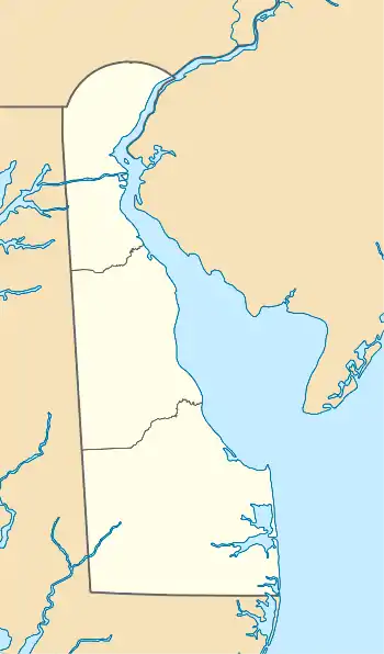 Location of Prong Number One mouth  Prong Number One (the United States) | |
| Location | |
| Country | United States |
| State | Delaware |
| County | Sussex |
| Physical characteristics | |
| Source | Parker Branch divide |
| • location | about 1.5 miles south-southeast of Oakley, Delaware |
| • coordinates | 38°47′59″N 075°28′04″W / 38.79972°N 75.46778°W[1] |
| • elevation | 44 ft (13 m)[2] |
| Mouth | Gravelly Branch |
• location | about 0.25 miles northwest of Kings Crossroads, Delaware |
• coordinates | 38°45′09″N 075°27′31″W / 38.75250°N 75.45861°W[1] |
• elevation | 29 ft (8.8 m)[3] |
| Length | 5.78 mi (9.30 km)[4] |
| Basin size | 13.38 square miles (34.7 km2)[5] |
| Discharge | |
| • location | Gravelly Branch (Collins Pond) |
| • average | 16.57 cu ft/s (0.469 m3/s) at mouth with Gravelly Branch[5] |
| Basin features | |
| Progression | Gravelly Branch → Nanticoke River → Chesapeake Bay → Atlantic Ocean[4] |
| River system | Nanticoke River |
| Tributaries | |
| • left | Maple Marsh and Beaver Dam Branch |
| • right | unnamed tributaries |
| Bridges | Staytonville Road, DE 16, Smith Haven Road, Beaver Dam Road, Maple Branch Road |
Prong Number One is a 5.78 mi (9.30 km) long 3rd order tributary to Gravelly Branch in Sussex County, Delaware.
Course
Prong Number One rises about 1.5 miles south-southeast of Oakley, Delaware, and then flows south to join Gravelly Branch about 0.25 miles northwest of Kings Crossroads.[3]
Watershed
Prong Number One drains 13.38 square miles (34.7 km2) of area, receives about 45.4 in/year of precipitation, has a wetness index of 781.58, and is about 11% forested.[5]
See also
References
- 1 2 "GNIS Detail - Prong Number One". geonames.usgs.gov. US Geological Survey. Retrieved 20 May 2021.
- ↑ "Get Maps". USGS Topoview. US Geological Survey. Retrieved 20 May 2021.
- 1 2 "Get Maps". USGS Topoview. US Geological Survey. Retrieved 20 May 2021.
- 1 2 "ArcGIS Web Application". epa.maps.arcgis.com. US EPA. Retrieved 20 May 2021.
- 1 2 3 "Prong Number One Watershed Report". US EPA Geoviewer. US EPA. Retrieved 20 May 2021.
This article is issued from Wikipedia. The text is licensed under Creative Commons - Attribution - Sharealike. Additional terms may apply for the media files.