| Presidio River | |
|---|---|
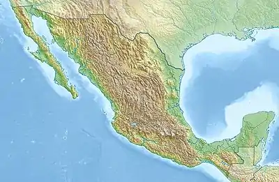 Location of mouth | |
| Location | |
| Country | Mexico |
| State | Sinaloa |
| Physical characteristics | |
| Mouth | |
• coordinates | 23°05′39″N 106°17′27″W / 23.094222°N 106.290895°W |
• elevation | Sea level |
| Basin size | 6,479 km2 (2,502 sq mi) |
The Presidio River is a river of Mexico. It originates in the mountains of Durango, flowing south-southwesterly into Sinaloa before joining the Pacific Ocean southeast of Mazatlán. The watershed measures 6,479 km2 (2,502 sq mi).[1]
See also
References
- ↑ "Rio Presidio". GeoNames. Retrieved July 26, 2021.
- Atlas of Mexico, 1975 (https://www.webcitation.org/689BebJNR?url=http://www.lib.utexas.edu/maps/atlas_mexico/river_basins.jpg).
- The Prentice Hall American World Atlas, 1984.
- Rand McNally, The New International Atlas, 1993.
This article is issued from Wikipedia. The text is licensed under Creative Commons - Attribution - Sharealike. Additional terms may apply for the media files.