| Porter Peak | |
|---|---|
.jpg.webp) View of Porter Peak from Maggie Summit Road | |
| Highest point | |
| Elevation | 9,272 ft (2,826 m) NAVD 88[1] |
| Prominence | 2,662 ft (811 m)[2] |
| Coordinates | 41°40′52″N 116°08′13″W / 41.681054397°N 116.136918961°W[1] |
| Geography | |
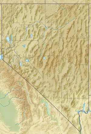 Porter Peak Nevada, U.S. | |
| Location | Elko County, Nevada, U.S. |
| Parent range | Bull Run Mountains |
| Topo map | USGS Bull Run Reservoir |
Porter Peak is the highest mountain in the Bull Run Mountains of northern Elko County, Nevada. It is located in the Mountain City Ranger District of the Humboldt-Toiyabe National Forest.
References
- 1 2 "Wilson". NGS Data Sheet. National Geodetic Survey, National Oceanic and Atmospheric Administration, United States Department of Commerce. Retrieved 2014-01-28.
- ↑ "Porter Peak, Nevada". Peakbagger.com. Retrieved 2014-01-28.
External links
 Media related to Porter Peak at Wikimedia Commons
- "Porter Peak". SummitPost.org.
- "Porter Peak". Geographic Names Information System. United States Geological Survey, United States Department of the Interior.
This article is issued from Wikipedia. The text is licensed under Creative Commons - Attribution - Sharealike. Additional terms may apply for the media files.