| Pioneer Range | |
|---|---|
  | |
| Highest point | |
| Peak | Mount Bulley |
| Elevation | 2,471 m (8,107 ft) |
| Listing | Mountains of British Columbia |
| Coordinates | 54°29′02″N 120°58′48″W / 54.484°N 120.98°W[1] |
| Dimensions | |
| Area | 310 km2 (120 sq mi) |
| Geography | |
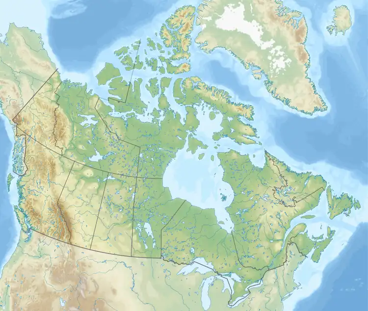
| Country | Canada |
| Province | British Columbia |
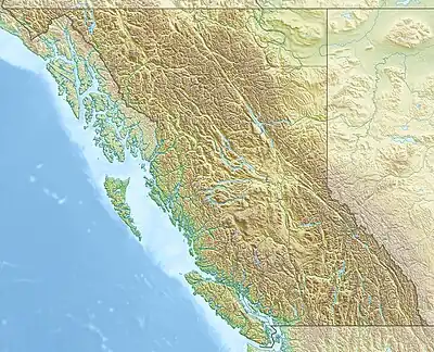
| Range coordinates | 54°39′N 122°17′W / 54.650°N 122.283°W[2] |
| Parent range | Hart Ranges |
| Topo map | NTS 93I11 Monkman Pass[2] |
The Pioneer Range is a small subdivision range of the Hart Ranges, of the Northern Rockies in British Columbia, Canada. The boundaries of the Pioneer Range are generally the Murray River to the east, Monkman Glacier to the west, Imperial Creek to the north and the Limestone Lakes to the south. The majority of the Pioneer Range lies within Monkman Provincial Park.[3]
The range is collectively named after individuals who participated in the pre-World War II efforts to construct a road through the area from Beaverlodge, Alberta to the Fraser River.[4]
Official Peaks
| Rank | Mountain Peak | Coordinates | Elevation (m/ft) | Prom. (m/ft) | Isolation | Nearest Higher Neighbour | ||
|---|---|---|---|---|---|---|---|---|
| 1 | Mount Bulley | 54°29'02''N 120°58'48''W | 8,107
style="text-align:right;" data-sort-value="7002959000000000000"|959 |
3,146 | 7.9 km ESE | Weaver Peak | ||
| 2 | The Shark's Fin | 54°40'04''N 121°16'25''W | 7,664
style="text-align:right;" data-sort-value="7002529000000000000"|529 |
1,736 | 14.2 km W | Unnamed Peak | ||
| 3 | Ice Mountain | 54°24'41''N 121°08'25''W | 7,635
style="text-align:right;" data-sort-value="7003125700000000000"|1,257 |
4,124 | 13.0 km ENE | Mount Bulley | ||
| 4 | Boone Taylor Peak | 54°40'46''N 121°17'27''W | 7,631
style="text-align:right;" data-sort-value="7002424000000000000"|424 |
1,391 | 1.7 km ESE | The Shark's Fin | ||
| 5 | Mount Watts | 54°36'16''N 121°05'44''W | 7,572
style="text-align:right;" data-sort-value="7002881000000000000"|881 |
2,890 | 11.3 km ESE | Unnamed Peak | ||
| 6 | Paxton Peak | 54°32'10''N 121°07'32''W | 7,454
style="text-align:right;" data-sort-value="7002662000000000000"|662 |
2,172 | 7.9 km NNE | Mount Watts | ||
| 7 | Mount Gauthier | 54°38'11''N 121°16'06''W | 7,120
style="text-align:right;" data-sort-value="7002349000000000000"|349 |
1,145 | 1.9 km N | Unnamed Peak | ||
| 8 | Castle Mountain | 54°41'28''N, 121°14'01''W | 7,073
style="text-align:right;" data-sort-value="7002312000000000000"|312 |
1,024 | 2.6 km SW | Unnamed Peak | ||
| 9 | Mount Jim Young | 54°36'49''N 121°17'55''W | 6,739
style="text-align:right;" data-sort-value="7002203000000000000"|203 |
666 | 3.2 km NE | Mount Gauthier | ||
| 10 | Forgetmenot Mountain | 54°28'25''N 121°15'14''W | 5,991
style="text-align:right;" data-sort-value="7002189000000000000"|189 |
620 | 2.7 km W | Unnamed Peak | ||
References
- ↑ "Topographic map of Mount Bulley". opentopomap.org. Retrieved 2023-07-04.
- 1 2 "Pioneer Range". Geographical Names Data Base. Natural Resources Canada. Retrieved 2023-07-06.
- ↑ "Pioneer Range". bivouac.com. Retrieved 2023-07-06.
- 1 2 "Pioneer Range". BC Geographical Names. Retrieved 2023-07-06.
- ↑ "PeakVisor". Peak Visor. 25 May 2020. Retrieved 2023-07-06.
This article is issued from Wikipedia. The text is licensed under Creative Commons - Attribution - Sharealike. Additional terms may apply for the media files.