Pinswang | |
|---|---|
 | |
 Coat of arms | |
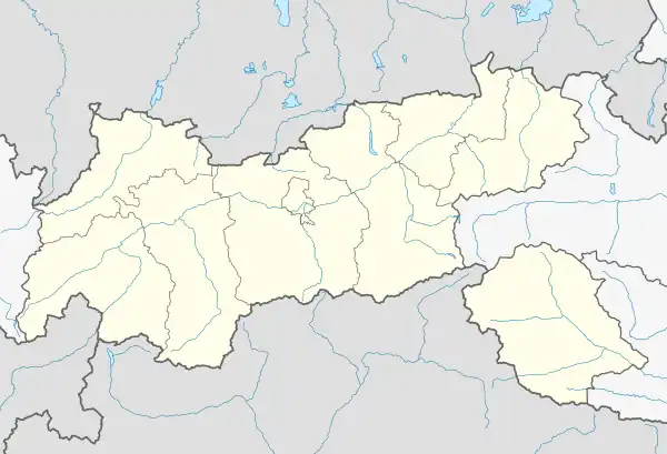 Pinswang Location within Tyrol  Pinswang Location within Austria | |
| Coordinates: 47°32′39″N 10°40′23″E / 47.54417°N 10.67306°E | |
| Country | |
| State | Tyrol |
| District | Reutte |
| Government | |
| • Mayor | Karl Wechselberger |
| Area | |
| • Total | 9.47 km2 (3.66 sq mi) |
| Elevation | 824 m (2,703 ft) |
| Population (2018-01-01)[2] | |
| • Total | 412 |
| • Density | 44/km2 (110/sq mi) |
| Time zone | UTC+1 (CET) |
| • Summer (DST) | UTC+2 (CEST) |
| Postal code | 6600 |
| Area code | 05677 |
| Vehicle registration | RE |
| Website | www.pinswang. tirol.gv.at |
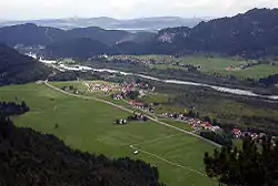
Pinswang is a municipality in the Austrian Ausserfern region of the northern Tyrol. It lies on the border with the Allgäu region of Bavaria in Germany.
References
- ↑ "Dauersiedlungsraum der Gemeinden Politischen Bezirke und Bundesländer - Gebietsstand 1.1.2018". Statistics Austria. Retrieved 10 March 2019.
- ↑ "Einwohnerzahl 1.1.2018 nach Gemeinden mit Status, Gebietsstand 1.1.2018". Statistics Austria. Retrieved 9 March 2019.
Wikimedia Commons has media related to Pinswang.
Wikivoyage has a travel guide for Pinswang.
This article is issued from Wikipedia. The text is licensed under Creative Commons - Attribution - Sharealike. Additional terms may apply for the media files.