| Pilanku | |
|---|---|
 Pilanku Peru | |
| Highest point | |
| Elevation | 4,200 m (13,800 ft)[1] |
| Coordinates | 8°28′28″S 77°26′15″W / 8.47444°S 77.43750°W |
| Geography | |
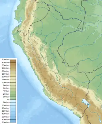
| Location | Peru, Ancash Region |
| Parent range | Andes, Cordillera Blanca |
Pilanku (Ancash Quechua for dam,[2] also spelled Pilanco) is a mountain in the northern extension of the Cordillera Blanca in the Andes of Peru which reaches a height of approximately 4,200 m (13,780 ft). It is located in the Ancash Region, Sihuas Province, on the border of the districts of Alfonso Ugarte and Huayllabamba.[1]
References
- 1 2 escale.minedu.gob.pe - UGEL map of the Sihuas Province (Ancash Region)
- ↑ "Vocabulario comparativo, quechua ecuatoriano - quechua ancashino - castellano - English, Brighton 2006" (PDF). Robert Beér, Armando Muyolemaj, Dr. Hernán S. Aguilarpaj. Retrieved May 30, 2016.
This article is issued from Wikipedia. The text is licensed under Creative Commons - Attribution - Sharealike. Additional terms may apply for the media files.