Parsathua | |
|---|---|
Village | |
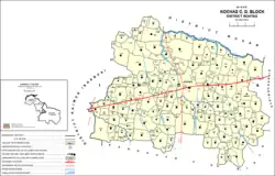 Map of Parsathua (#685) in Kochas block | |
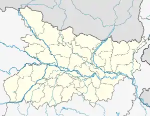 Parsathua Location in Bihar, India  Parsathua Parsathua (India) | |
| Coordinates: 25°12′39″N 83°48′34″E / 25.21089°N 83.80939°E[1] | |
| Country | India |
| State | Bihar |
| District | Bhojpur |
| Area | |
| • Total | 1.6794 km2 (0.6484 sq mi) |
| Elevation | 76 m (249 ft) |
| Population (2011) | |
| • Total | 4,762[2] |
| Languages | |
| • Official | Bhojpuri, Hindi |
| Time zone | UTC+5:30 (IST) |
Parsathua is a village in Kochas block of Rohtas district in Bihar, India. As of 2011, its population was 4,762, in 719 households. It has a regular mandi and a weekly haat. Drinking water is provided by hand pump. The village's area covers an area of 167.94 hectares, of which most is farmland: 163.9 ha are under cultivation, and 159.1 are irrigated. 1.1 ha consists of permanent pastures, and 0.4 ha consists of orchards. An area of 0.9 ha is devoted to non-agricultural use.[2]
See also
- Mahabirganj — village administratively counted under Parsathua
References
- 1 2 "Geonames.org. Parsathua". Retrieved 27 October 2020.
- 1 2 3 "Census of India 2011: Bihar District Census Handbook - Rohtas, Part A (Village and Town Directory)". Census 2011 India. pp. 228–307. Retrieved 27 October 2020.
This article is issued from Wikipedia. The text is licensed under Creative Commons - Attribution - Sharealike. Additional terms may apply for the media files.