Paranapanema | |
|---|---|
 | |
 Flag  Coat of arms | |
 Location in São Paulo state | |
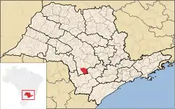
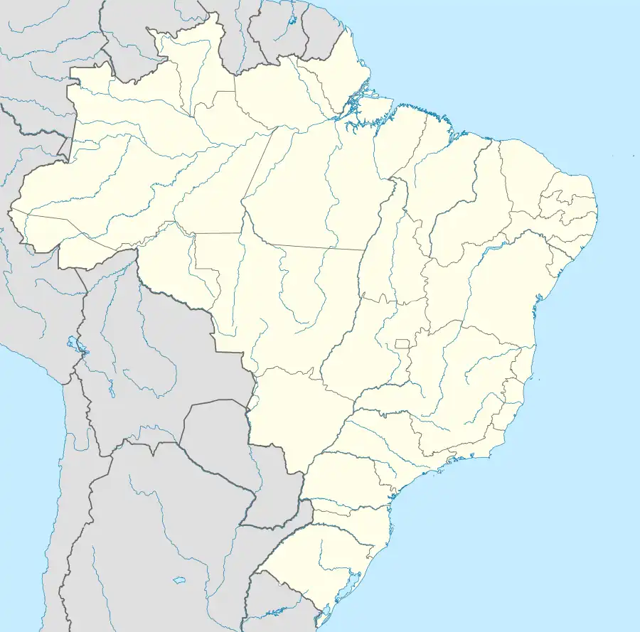 Paranapanema Location in Brazil | |
| Coordinates: 23°23′19″S 48°43′22″W / 23.38861°S 48.72278°W | |
| Country | Brazil |
| Region | Southeast |
| State | São Paulo |
| Area | |
| • Total | 1,019 km2 (393 sq mi) |
| Population (2020 [1]) | |
| • Total | 20,395 |
| • Density | 20/km2 (52/sq mi) |
| Time zone | UTC−3 (BRT) |
Paranapanema is a municipality in the state of São Paulo in Brazil. The population was estimated at 20,395 in 2020, in an area of 1019 km².[2] The elevation is 610 m.
References
This article is issued from Wikipedia. The text is licensed under Creative Commons - Attribution - Sharealike. Additional terms may apply for the media files.