Paliani
Παλιανή | |
|---|---|
 Paliani Location within the regional unit 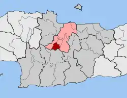 | |
| Coordinates: 35°12′N 25°02′E / 35.200°N 25.033°E | |
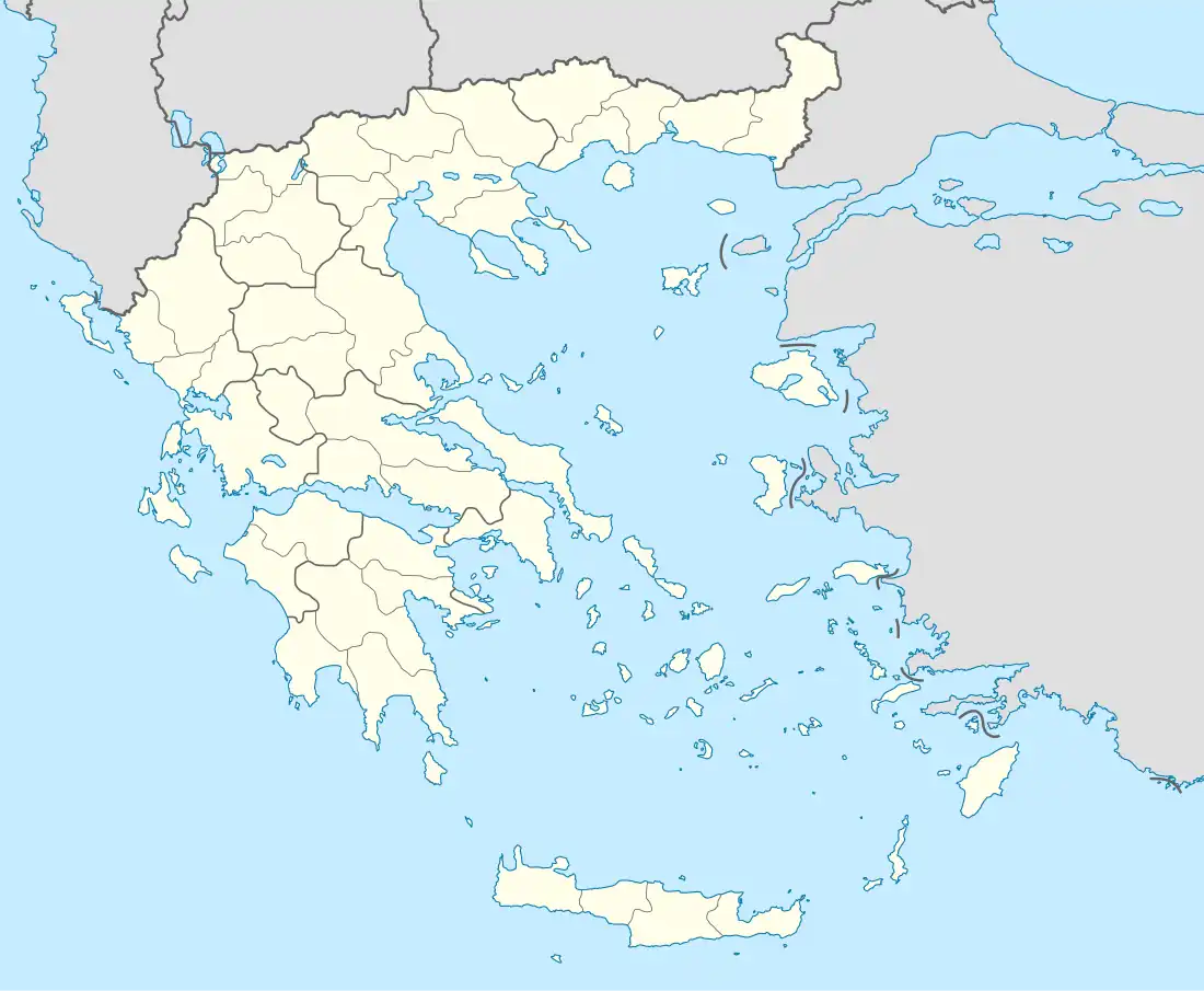
| Country | Greece |
| Administrative region | Crete |
| Regional unit | Heraklion |
| Municipality | Heraklion |
| • Municipal unit | 21.4 km2 (8.3 sq mi) |
| Elevation | 306 m (1,004 ft) |
| Population (2011)[1] | |
| • Municipal unit | 1,844 |
| • Municipal unit density | 86/km2 (220/sq mi) |
| Time zone | UTC+2 (EET) |
| • Summer (DST) | UTC+3 (EEST) |
Paliani (Greek: Παλιανή) is a former municipality in the Heraklion regional unit, Crete, Greece. Since the 2011 local government reform it is part of the municipality Heraklion, of which it is a municipal unit.[2] The municipal unit has an area of 21.423 km2.[3] Population 1,844 (2011). The seat of the municipality was in Venerato. Until 2002, the municipality was named "Tetrachori".[4]
The municipal unit of Paliani, named after the nunnery on the outskirts of Venerato, consists of the villages of Kerasia, Venerato, Avgeniki, and Siva.
References
- ↑ "Απογραφή Πληθυσμού - Κατοικιών 2011. ΜΟΝΙΜΟΣ Πληθυσμός" (in Greek). Hellenic Statistical Authority.
- ↑ "ΦΕΚ B 1292/2010, Kallikratis reform municipalities" (in Greek). Government Gazette.
- ↑ "Population & housing census 2001 (incl. area and average elevation)" (PDF) (in Greek). National Statistical Service of Greece.
- ↑ "EETAA local government changes". Retrieved 26 June 2020.
External links
This article is issued from Wikipedia. The text is licensed under Creative Commons - Attribution - Sharealike. Additional terms may apply for the media files.