Osarvira | |
|---|---|
village | |
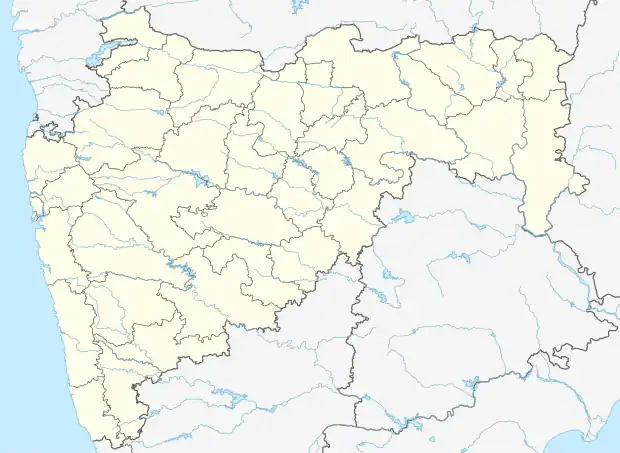 Osarvira Location in Maharashtra, India  Osarvira Osarvira (India) | |
| Coordinates: 20°00′47″N 73°21′54″E / 20.0129321°N 73.364975°E | |
| Country | India |
| State | Maharashtra |
| District | Palghar |
| Taluka | Dahanu |
| Elevation | 282 m (925 ft) |
| Population (2011) | |
| • Total | 1,494 |
| Time zone | UTC+5:30 (IST) |
| 2011 census code | 551677 |
Osarvira is a village in the Palghar district of Maharashtra, India. It is located in the Dahanu taluka.[1]
Demographics
According to the 2011 census of India, Osarvira has 403 households. The effective literacy rate (i.e. the literacy rate of population excluding children aged 6 and below) is 36.3%.[2]
| Total | Male | Female | |
|---|---|---|---|
| Population | 1494 | 693 | 801 |
| Children aged below 6 years | 293 | 158 | 135 |
| Scheduled caste | 0 | 0 | 0 |
| Scheduled tribe | 1483 | 686 | 797 |
| Literates | 436 | 299 | 137 |
| Workers (all) | 745 | 337 | 408 |
| Main workers (total) | 697 | 308 | 389 |
| Main workers: Cultivators | 599 | 261 | 338 |
| Main workers: Agricultural labourers | 75 | 32 | 43 |
| Main workers: Household industry workers | 3 | 3 | 0 |
| Main workers: Other | 20 | 12 | 8 |
| Marginal workers (total) | 48 | 29 | 19 |
| Marginal workers: Cultivators | 9 | 4 | 5 |
| Marginal workers: Agricultural labourers | 28 | 18 | 10 |
| Marginal workers: Household industry workers | 1 | 1 | 0 |
| Marginal workers: Others | 10 | 6 | 4 |
| Non-workers | 749 | 356 | 393 |
References
- ↑ "Maharashtra villages" (PDF). Land Records Information Systems Division, NIC. Archived from the original (PDF) on 4 March 2016. Retrieved 17 August 2015.
- 1 2 "District census data". 2011 Census of India. Directorate of Census Operations. Retrieved 17 August 2015.
This article is issued from Wikipedia. The text is licensed under Creative Commons - Attribution - Sharealike. Additional terms may apply for the media files.