Ohaveč | |
|---|---|
_01.jpg.webp) Wooden belfry in the centre of Ohaveč | |
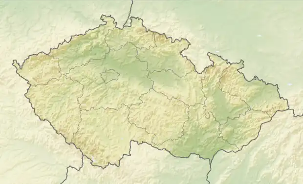 Ohaveč Location in the Czech Republic | |
| Coordinates: 50°26′59″N 15°18′32″E / 50.44972°N 15.30889°E | |
| Country | |
| Region | Hradec Králové |
| District | Jičín |
| First mentioned | 1327 |
| Area | |
| • Total | 1.39 km2 (0.54 sq mi) |
| Elevation | 293 m (961 ft) |
| Population (2023-01-01)[1] | |
| • Total | 134 |
| • Density | 96/km2 (250/sq mi) |
| Time zone | UTC+1 (CET) |
| • Summer (DST) | UTC+2 (CEST) |
| Postal code | 506 01 |
| Website | obec-ohavec |
Ohaveč is a municipality and village in Jičín District in the Hradec Králové Region of the Czech Republic. It has about 100 inhabitants.
History
The first written mention of Ohaveč is from 1327.[2]
References
- ↑ "Population of Municipalities – 1 January 2023". Czech Statistical Office. 2023-05-23.
- ↑ "O obci – základní informace" (in Czech). Obec Ohaveč. Retrieved 2022-11-10.
Wikimedia Commons has media related to Ohaveč.
This article is issued from Wikipedia. The text is licensed under Creative Commons - Attribution - Sharealike. Additional terms may apply for the media files.