Ngodwana | |
|---|---|
 Ngodwana 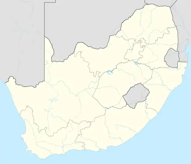 Ngodwana | |
| Coordinates: 25°34′08″S 30°40′41″E / 25.569°S 30.678°E | |
| Country | South Africa |
| Province | Mpumalanga |
| District | Ehlanzeni |
| Municipality | Mbombela |
| Area | |
| • Total | 12.20 km2 (4.71 sq mi) |
| Population (2011)[1] | |
| • Total | 3,483 |
| • Density | 290/km2 (740/sq mi) |
| Racial makeup (2011) | |
| • Black African | 60.2% |
| • Coloured | 1.7% |
| • Indian/Asian | 1.2% |
| • White | 36.7% |
| • Other | 0.2% |
| First languages (2011) | |
| • Swazi | 35.0% |
| • Afrikaans | 32.1% |
| • English | 9.7% |
| • Tsonga | 7.8% |
| • Other | 15.4% |
| Time zone | UTC+2 (SAST) |
| PO box | 1209 |
| Area code | 013 |
Ngodwana is a town in Ehlanzeni District Municipality in the Mpumalanga province of South Africa.[2]
References
- 1 2 3 4 "Main Place Ngodwana". Census 2011.
- ↑ "Ngodwana - Mountain Passes South Africa".
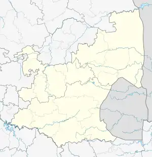
Municipalities and communities of Ehlanzeni District Municipality, Mpumalanga | ||
|---|---|---|
District seat: Nelspruit (Mbombela) | ||
| Mbombela | .svg.png.webp) Ehlanzeni District within South Africa | |
| Nkomazi | ||
| Thaba Chweu | ||
| Bushbuckridge |
| |
This article is issued from Wikipedia. The text is licensed under Creative Commons - Attribution - Sharealike. Additional terms may apply for the media files.