Nesgrenda | |
|---|---|
Village | |
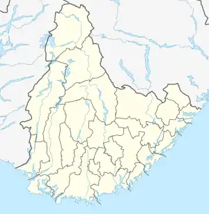 Nesgrenda Location of the village 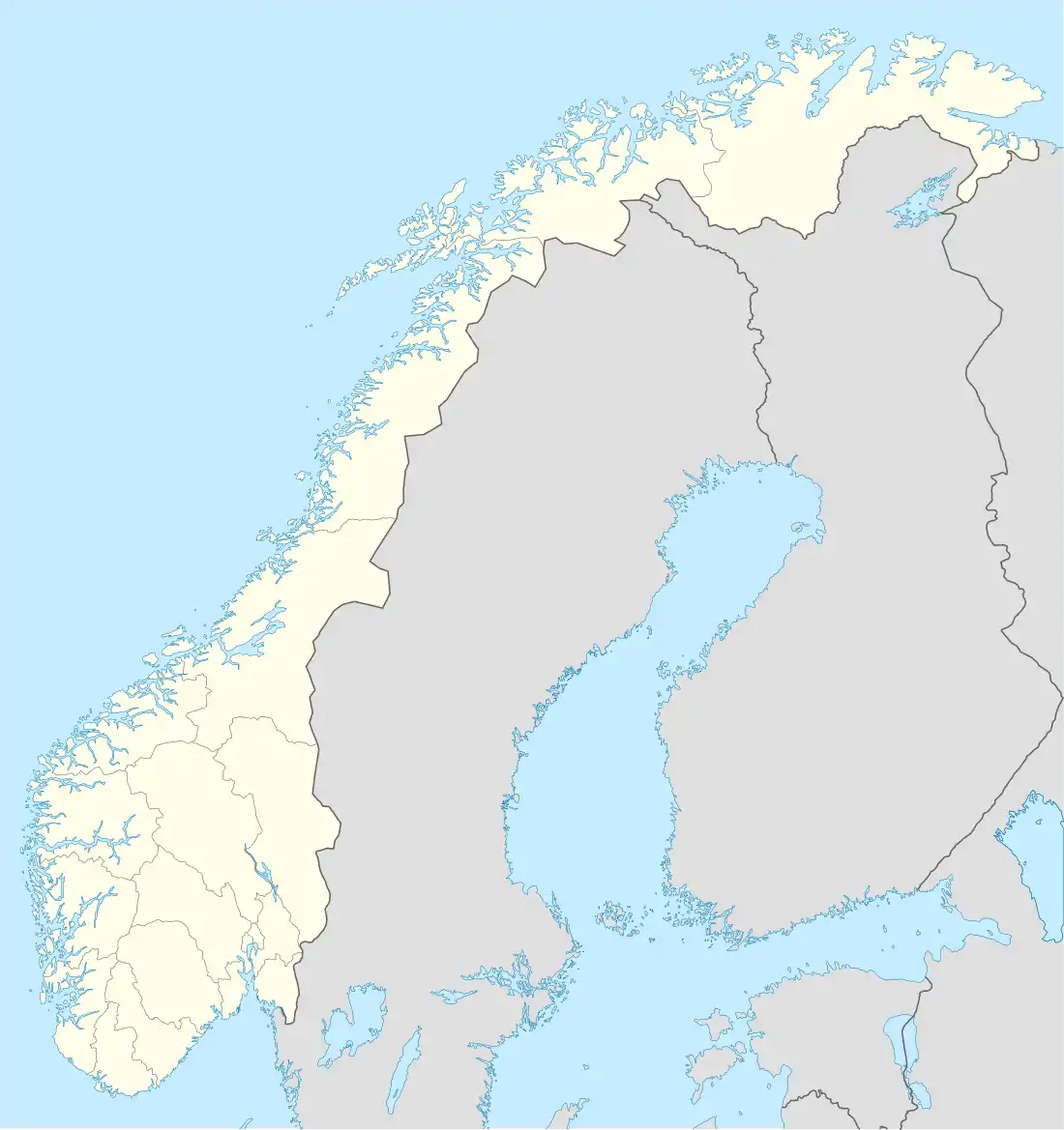 Nesgrenda Nesgrenda (Norway) | |
| Coordinates: 58°37′51″N 8°51′21″E / 58.6308°N 08.8557°E | |
| Country | Norway |
| Region | Southern Norway |
| County | Agder |
| District | Østre Agder |
| Municipality | Tvedestrand |
| Area | |
| • Total | 0.61 km2 (0.24 sq mi) |
| Elevation | 42 m (138 ft) |
| Population (2017)[1] | |
| • Total | 246 |
| • Density | 403/km2 (1,040/sq mi) |
| Time zone | UTC+01:00 (CET) |
| • Summer (DST) | UTC+02:00 (CEST) |
| Post Code | 4934 Nes Verk |
Nesgrenda is a village in Tvedestrand municipality in Agder county, Norway. The village is located along the Norwegian County Road 415 about 7 kilometres (4.3 mi) west of the town of Tvedestrand and about 1 kilometre (0.62 mi) northwest of the village of Fiane and the European route E18 highway. The Næs jernverk (iron works) facility is located in the village.
The 0.61-square-kilometre (150-acre) village has a population (2017) of 246 which gives the village a population density of 403 inhabitants per square kilometre (1,040/sq mi).[1]
References
- 1 2 3 Statistisk sentralbyrå (1 January 2017). "Urban settlements. Population and area, by municipality".
- ↑ "Nesgrenda, Tvedestrand (Aust-Agder)". yr.no. Retrieved 2018-01-04.
This article is issued from Wikipedia. The text is licensed under Creative Commons - Attribution - Sharealike. Additional terms may apply for the media files.