Nerville-la-Forêt | |
|---|---|
%252C_rue_Saint-Claude_4.jpg.webp) The village square and Rue Saint-Claude, in Nerville-la-Forêt | |
.svg.png.webp) Coat of arms | |
Location of Nerville-la-Forêt | |
 Nerville-la-Forêt 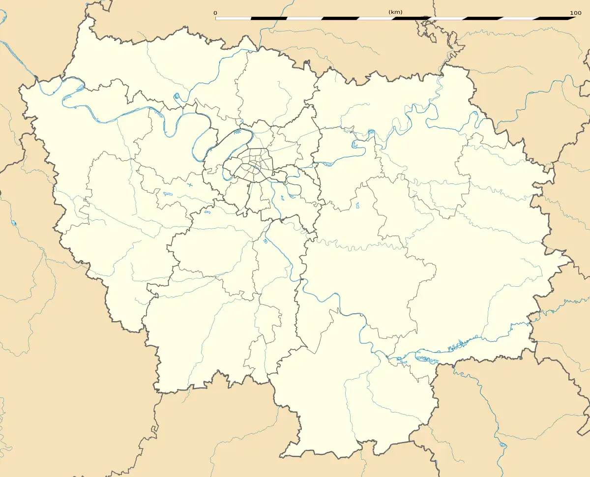 Nerville-la-Forêt | |
| Coordinates: 49°05′26″N 2°16′47″E / 49.0906°N 2.2797°E | |
| Country | France |
| Region | Île-de-France |
| Department | Val-d'Oise |
| Arrondissement | Pontoise |
| Canton | L'Isle-Adam |
| Intercommunality | Vallée de l'Oise et des Trois Forêts |
| Government | |
| • Mayor (2020–2026) | Philippe Van Hyfte[1] |
| Area 1 | 6.68 km2 (2.58 sq mi) |
| Population | 767 |
| • Density | 110/km2 (300/sq mi) |
| Time zone | UTC+01:00 (CET) |
| • Summer (DST) | UTC+02:00 (CEST) |
| INSEE/Postal code | 95445 /95590 |
| Elevation | 65–194 m (213–636 ft) |
| 1 French Land Register data, which excludes lakes, ponds, glaciers > 1 km2 (0.386 sq mi or 247 acres) and river estuaries. | |
Nerville-la-Forêt (French pronunciation: [nɛʁvil la fɔʁɛ] ⓘ) is a commune in the Val-d'Oise department in Île-de-France in northern France.
See also
References
- ↑ "Répertoire national des élus: les maires" (in French). data.gouv.fr, Plateforme ouverte des données publiques françaises. 13 September 2022.
- ↑ "Populations légales 2021". The National Institute of Statistics and Economic Studies. 28 December 2023.
External links
- Association of Mayors of the Val d'Oise (in French)
Wikimedia Commons has media related to Nerville-la-Forêt.
This article is issued from Wikipedia. The text is licensed under Creative Commons - Attribution - Sharealike. Additional terms may apply for the media files.