Ndwedwe | |
|---|---|
 Ndwedwe 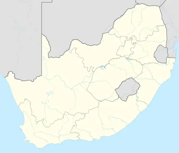 Ndwedwe | |
| Coordinates: 29°30′53″S 30°56′06″E / 29.514667°S 30.934916°E | |
| Country | South Africa |
| Province | KwaZulu-Natal |
| District | iLembe |
| Municipality | Ndwedwe |
| Area | |
| • Total | 17.23 km2 (6.65 sq mi) |
| Population (2011)[1] | |
| • Total | 4,488 |
| • Density | 260/km2 (670/sq mi) |
| Racial makeup (2011) | |
| • Black African | 99.5% |
| • Indian/Asian | 0.3% |
| • Other | 0.1% |
| First languages (2011) | |
| • Zulu | 94.1% |
| • S. Ndebele | 1.5% |
| • Tswana | 1.2% |
| • English | 1.2% |
| • Other | 2.0% |
| Time zone | UTC+2 (SAST) |
| Postal code (street) | 4342 |
| PO box | 4342 |
| Area code | 032 |
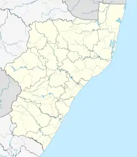
Ndwedwe is a town in Ilembe District Municipality in the KwaZulu-Natal province of South Africa.
The village is 60 km north of Durban and about 20 km west-north-west of Tongaat. Of Zulu origin, the name is said to mean "long, bare table-land or ridge," or "pensive," referring to its peaceful setting in the Valley of a Thousand Hills.[2]
Notable residents
References
- 1 2 3 4 "Main Place Ndwedwe". Census 2011.
- ↑ Raper, P. E. (1989). Dictionary of Southern African Place Names. Jonathan Ball Publishers. p. 330. ISBN 978-0-947464-04-2 – via Internet Archive.
Municipalities and communities of ILembe District Municipality, KwaZulu-Natal | ||
|---|---|---|
District seat: Stanger (KwaDukuza) | ||
| Mandeni | .svg.png.webp) ILembe District within South Africa | |
| KwaDukuza | ||
| Ndwedwe | ||
| Maphumulo | ||
This article is issued from Wikipedia. The text is licensed under Creative Commons - Attribution - Sharealike. Additional terms may apply for the media files.