Natakhtari
ნატახტარი | |
|---|---|
Village | |
 | |
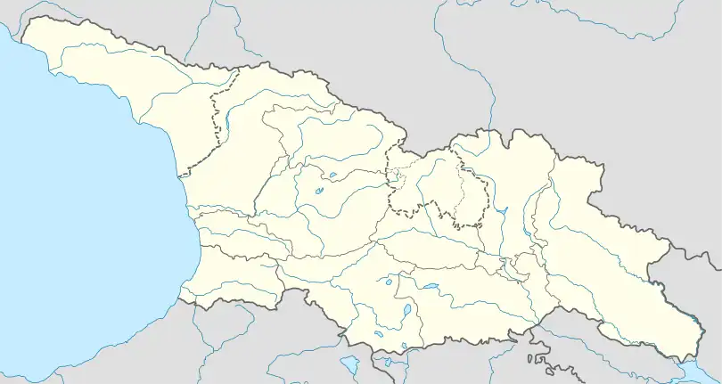 Natakhtari Location of Natakhtari 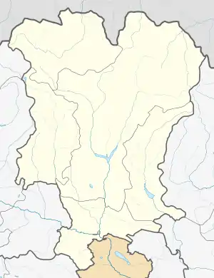 Natakhtari Natakhtari (Mtskheta-Mtianeti) | |
| Coordinates: 41°55′10″N 44°43′38″E / 41.91944°N 44.72722°E | |
| Country | |
| Mkhare | Mtskheta-Mtianeti |
| Municipality | Mtskheta |
| Commune | Misaktsieli |
| Elevation | 510 m (1,670 ft) |
| Population (2014)[1] | |
| • Total | 1,234 |
| Time zone | UTC+4 (Georgian Time) |
Natakhtari (Georgian: ნატახტარი) is a village in the Mtskheta municipality, Mtskheta-Mtianeti region, Georgia. It is located in Eastern Georgia, on the right bank of the Aragvi river, at elevation of 510 m above sea level, 8 km north of the town of Mtskheta.
References
- ↑ "Population Census 2014". www.geostat.ge. National Statistics Office of Georgia. November 2014. Retrieved 28 June 2021.
See also
This article is issued from Wikipedia. The text is licensed under Creative Commons - Attribution - Sharealike. Additional terms may apply for the media files.