| Naring Victoria | |||||||||||||||
|---|---|---|---|---|---|---|---|---|---|---|---|---|---|---|---|
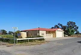 Naring War Memorial Community Hall | |||||||||||||||
 Naring | |||||||||||||||
| Coordinates | 36°03′41″S 145°34′39″E / 36.06139°S 145.57750°E | ||||||||||||||
| Population | 120 (2016) | ||||||||||||||
| Postcode(s) | 3636 | ||||||||||||||
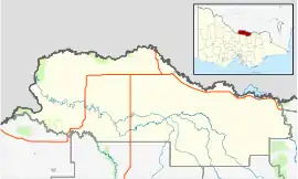
| LGA(s) | Shire of Moira | ||||||||||||||
| State electorate(s) | Ovens Valley | ||||||||||||||
| Federal division(s) | Nicholls | ||||||||||||||
| |||||||||||||||
Naring is a locality in northern Victoria, Australia. The locality includes the former locality of Naringaningalook. It is in the local government area of Shire of Moira.
Naringaningalook West post office opened on 8 September 1914 and was closed on 27 February 1965. Naringaningalook East post office opened on 8 September 1914 and was closed on 14 December 1915.[1]
References
- ↑ Premier Postal History, Post Office List, retrieved 9 December 2011
External links
![]() Media related to Naring at Wikimedia Commons
Media related to Naring at Wikimedia Commons
Localities in the Shire of Moira | ||
|---|---|---|
| Town | ||
| Locality |
| |
^ - Territory divided with another LGA | ||
This article is issued from Wikipedia. The text is licensed under Creative Commons - Attribution - Sharealike. Additional terms may apply for the media files.