Narayanpur | |
|---|---|
Village | |
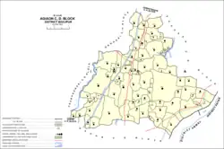 Map of Narayanpur in Agiaon block | |
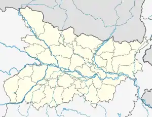 Narayanpur Location in Bihar, India  Narayanpur Narayanpur (India) | |
| Coordinates: 25°22′35″N 84°36′28″E / 25.37651°N 84.60789°E[1] | |
| Country | India |
| State | Bihar |
| District | Bhojpur |
| Block/Tehsil | Agiaon |
| Area | |
| • Total | 5.86 km2 (2.26 sq mi) |
| Elevation | 75 m (246 ft) |
| Population (2011) | |
| • Total | 6,476[2] |
| Language | |
| • Official | Hindi[3] |
| • Regional | Bhojpuri |
| Time zone | UTC+5:30 (IST) |
| PIN Code | 802201 |
| Vehicle registration | BR-03 |
| Website | https://bhojpur.nic.in/ |
Narayanpur is a village in Agiaon block, Bhojpur district of Bihar, India. As of 2011, its population was 6,476 in 961 households.[2]
See also
References
- 1 2 "Geonames.org. Narayanpur". Retrieved 22 October 2020.
- 1 2 3 "Census of India 2011: Bihar District Census Handbook - Bhojpur, Part A (Village and Town Directory)". Census 2011 India. pp. 27–94, 628–659. Retrieved 26 October 2020.
- ↑ "52nd Report of the Commissioner for Linguistic Minorities in India" (PDF). nclm.nic.in. Ministry of Minority Affairs. Archived from the original (PDF) on 25 May 2017. Retrieved 9 August 2020.
This article is issued from Wikipedia. The text is licensed under Creative Commons - Attribution - Sharealike. Additional terms may apply for the media files.