Nalma
नाल्मा | |
|---|---|
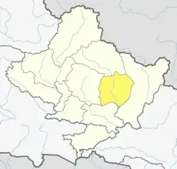
 Nalma Location in Nepal 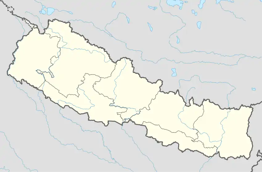 Nalma Nalma (Nepal) | |
| Coordinates: 28°13′N 84°18′E / 28.21°N 84.30°E | |
| Country | |
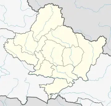
| Zone | Gandaki Zone |
| District | Lamjung District |
| Population (1991) | |
| • Total | 2,082 |
| Time zone | UTC+5:45 (Nepal Time) |
Nalma is a village development committee in Lamjung District in the Gandaki Zone of northern-central Nepal. At the time of the 1991 Nepal census it had a population of 2082 people living in 409 individual households.[1] The villages of Nalma VDC are as follows:
- Jyarkhang
- Bakhrijagat
- Syare, Lausibot, Kochme
- Puran Gaun
- Gairi Gaun
- Danda Gaun
- Bartu
- Chodo khora
- Fedi
- Ramche Khola
Population by ward no. as per National Population Census 2011[2]
|
DISTRICT: Lamjung |
V.D.C./MUNICIPALITY : Nalma | |||
|
WARD |
HOUSEHOLD |
POPULATION | ||
|
TOTAL |
MALE |
FEMALE | ||
|
1 |
89 |
325 |
141 |
184 |
|
2 |
80 |
337 |
161 |
176 |
|
3 |
25 |
74 |
30 |
44 |
|
4 |
37 |
139 |
64 |
75 |
|
5 |
44 |
154 |
72 |
82 |
|
6 |
36 |
140 |
70 |
70 |
|
7 |
47 |
241 |
120 |
121 |
|
8 |
37 |
160 |
66 |
94 |
|
9 |
43 |
209 |
103 |
106 |
|
TOTAL |
438 |
1,779 |
827 |
952 |
References
- ↑ "Nepal Census 2001", Nepal's Village Development Committees, Digital Himalaya, retrieved 15 November 2009.
- ↑ "Central Bureau of Statistics". cbs.gov.np. Retrieved 12 July 2017.
External links
This article is issued from Wikipedia. The text is licensed under Creative Commons - Attribution - Sharealike. Additional terms may apply for the media files.