Nagykarácsony | |
|---|---|
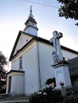 Roman Catholic church | |
 Coat of arms | |
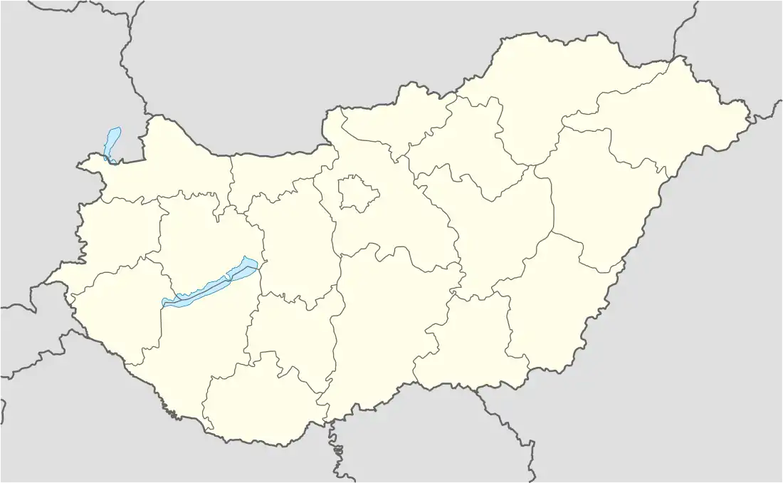 Nagykarácsony Location of Nagykarácsony in Hungary | |
| Coordinates: 46°52′N 18°46′E / 46.87°N 18.77°E | |
| Country | Hungary |
| Region | Central Transdanubia |
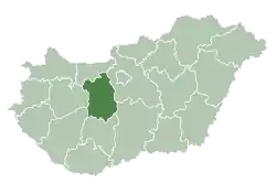
| County | Fejér |
| Area | |
| • Total | 30.46 km2 (11.76 sq mi) |
| Population (2012)[2] | |
| • Total | 1,361 |
| • Density | 45/km2 (120/sq mi) |
| Time zone | UTC+1 (CET) |
| • Summer (DST) | UTC+2 (CEST) |
| Postal code | 2425 |
| Area code | +36 25 |
| Website | https://nagykaracsony.hu/ |
References
- ↑ Nagykarácsony at the Hungarian Central Statistical Office (Hungarian).
- ↑ Nagykarácsony at the Hungarian Central Statistical Office (Hungarian). 2012
External links
 Media related to Nagykarácsony at Wikimedia Commons
- Street map (in Hungarian)
| Cities with county rights |
|   |
|---|---|---|
| Towns | ||
| Large villages | ||
| Villages |
| |
| Other topics |
| |
This article is issued from Wikipedia. The text is licensed under Creative Commons - Attribution - Sharealike. Additional terms may apply for the media files.