Mysletín | |
|---|---|
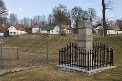 Monument to the victims of World War I | |
 Flag  Coat of arms | |
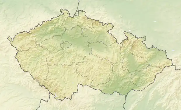 Mysletín Location in the Czech Republic | |
| Coordinates: 49°28′36″N 15°22′6″E / 49.47667°N 15.36833°E | |
| Country | |
| Region | Vysočina |
| District | Pelhřimov |
| First mentioned | 1226 |
| Area | |
| • Total | 4.15 km2 (1.60 sq mi) |
| Elevation | 557 m (1,827 ft) |
| Population (2023-01-01)[1] | |
| • Total | 116 |
| • Density | 28/km2 (72/sq mi) |
| Time zone | UTC+1 (CET) |
| • Summer (DST) | UTC+2 (CEST) |
| Postal code | 396 01 |
| Website | mysletin |
Mysletín is a municipality and village in Pelhřimov District in the Vysočina Region of the Czech Republic. It has about 100 inhabitants.
Mysletín lies approximately 13 kilometres (8 mi) north-east of Pelhřimov, 18 km (11 mi) north-west of Jihlava, and 97 km (60 mi) south-east of Prague.
References
Wikimedia Commons has media related to Mysletín.
This article is issued from Wikipedia. The text is licensed under Creative Commons - Attribution - Sharealike. Additional terms may apply for the media files.