| Mount Xiaowutai | |
|---|---|
 | |
| Highest point | |
| Elevation | 2,882 m (9,455 ft)[1] |
| Prominence | 1,519 m (4,984 ft)[1] |
| Coordinates | 39°56′29″N 115°2′35″E / 39.94139°N 115.04306°E[1] |
| Geography | |
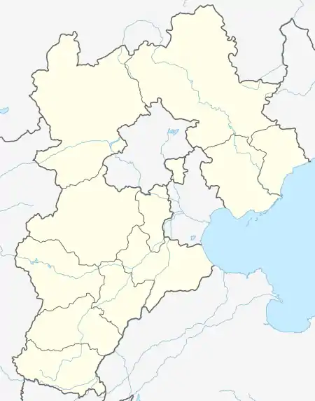 Mount Xiaowutai Location in Hebei 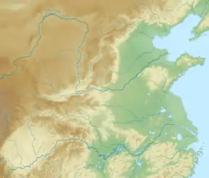 Mount Xiaowutai Mount Xiaowutai (Northern China) 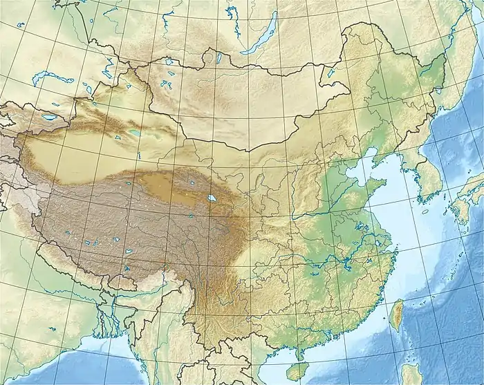 Mount Xiaowutai Mount Xiaowutai (China) | |
| Location | Yu County, Hebei, China |
| Parent range | Taihang Mountains |
Mount Xiaowutai (Chinese: 小五台山; pinyin: Xiǎowǔtái Shān; lit. 'little Wutai') is a mountain located in Yu County in the northwest of the province of Hebei, China. With an altitude of 2,882 m (9,455 ft), it is the highest point in Hebei and the Taihang Mountains.[2]
References
- 1 2 3 "Xiaowutai Shan, China". Peakbagger.com. Retrieved 2014-08-27.
- ↑ Liu, Yanlin (2015). 太行山把最高的山脊留在了河北. Chinese National Geography (in Simplified Chinese) (2). Retrieved 20 May 2018.
小五台山是太行山主脉上的最高峰,同时也是河北省的最高峰
This article is issued from Wikipedia. The text is licensed under Creative Commons - Attribution - Sharealike. Additional terms may apply for the media files.