| Mount Mitchell | |
|---|---|
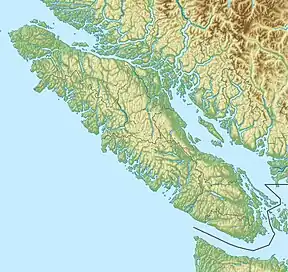 Mount Mitchell  Mount Mitchell Mount Mitchell (British Columbia) | |
| Highest point | |
| Elevation | 1,842 m (6,043 ft) |
| Prominence | 310 m (1,020 ft) |
| Coordinates | 49°41′17.2″N 125°27′47.9″W / 49.688111°N 125.463306°W |
| Geography | |
| Location | Vancouver Island, British Columbia, Canada |
| District | Comox Land District |
| Parent range | Vancouver Island Ranges |
| Topo map | NTS 92F11 Forbidden Plateau |
Mount Mitchell is a mountain on Vancouver Island, British Columbia, Canada, located 34 km (21 mi) west of Courtenay and 3 km (2 mi) northwest of Mount Albert Edward.[1]
See also
References
- ↑ Mount Mitchell in the Canadian Mountain Encyclopedia
External links
This article is issued from Wikipedia. The text is licensed under Creative Commons - Attribution - Sharealike. Additional terms may apply for the media files.