| Mount Darrah | |
|---|---|
 Mount Darrah Location in Alberta and British Columbia 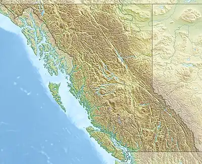 Mount Darrah Mount Darrah (British Columbia) | |
| Highest point | |
| Elevation | 2,755 m (9,039 ft)[1][2] |
| Prominence | 428 m (1,404 ft)[3] |
| Listing | |
| Coordinates | 49°28′22″N 114°35′37″W / 49.47278°N 114.59361°W[4] |
| Geography | |
| Country | Canada |
| Provinces | Alberta and British Columbia |
| Parent range | Flathead Range[1] |
| Topo map | NTS 82G7 Flathead Ridge[4] |
| Climbing | |
| First ascent | 1914 Interprovincial Boundary Commission[1] |
Mount Darrah is located on the border of Alberta and British Columbia on the Continental Divide. It was named in 1916 after Captain Darrah.[1][3]
See also
References
- 1 2 3 4 "Mount Darrah". cdnrockiesdatabases.ca. Retrieved 2022-03-28.
- ↑ "Topographic map of Mount Darrah". opentopomap.org.
- 1 2 "Mount Darrah". Bivouac.com. Retrieved 2022-03-28.
- 1 2 "Mount Darrah (Alberta)". Geographical Names Data Base. Natural Resources Canada. Retrieved 2022-03-28.
External links
This article is issued from Wikipedia. The text is licensed under Creative Commons - Attribution - Sharealike. Additional terms may apply for the media files.