Motarzewo | |
|---|---|
Village | |
 Motarzewo | |
| Coordinates: 53°29′49″N 16°22′18″E / 53.49694°N 16.37167°E | |
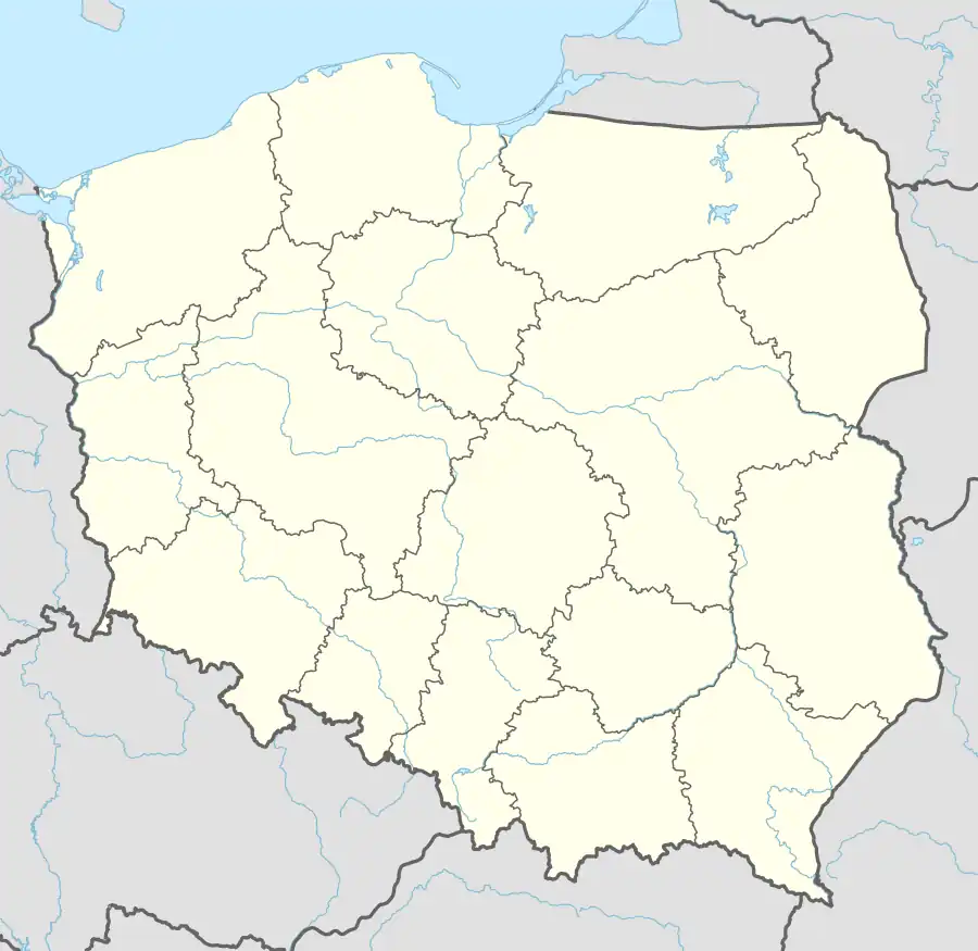
| Country | |
| Voivodeship | West Pomeranian |
| County | Drawsko |
| Gmina | Czaplinek |
| Population | 80 |
| Time zone | UTC+1 (CET) |
| • Summer (DST) | UTC+2 (CEST) |
| Area code | +48 94 |
| Car plates | ZDR |
Motarzewo [mɔtaˈʐɛvɔ] (German: Wallbruch) is a village in the administrative district of Gmina Czaplinek, within Drawsko County, West Pomeranian Voivodeship, in north-western Poland.[1] It lies approximately 11 kilometres (7 mi) south-east of Czaplinek, 39 km (24 mi) east of Drawsko Pomorskie, and 119 km (74 mi) east of the regional capital Szczecin.
The village has a population of 80. Before 1945/1990 the area was part of Germany.
References
This article is issued from Wikipedia. The text is licensed under Creative Commons - Attribution - Sharealike. Additional terms may apply for the media files.