Montady | |
|---|---|
 Étang de Montady | |
.svg.png.webp) Coat of arms | |
Location of Montady | |
 Montady 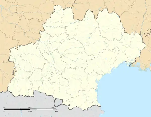 Montady | |
| Coordinates: 43°19′53″N 3°07′18″E / 43.3314°N 3.1217°E | |
| Country | France |
| Region | Occitania |
| Department | Hérault |
| Arrondissement | Béziers |
| Canton | Cazouls-lès-Béziers |
| Intercommunality | Domitienne |
| Government | |
| • Mayor (2020–2026) | Alain Castan[1] |
| Area 1 | 9.95 km2 (3.84 sq mi) |
| Population | 4,005 |
| • Density | 400/km2 (1,000/sq mi) |
| Time zone | UTC+01:00 (CET) |
| • Summer (DST) | UTC+02:00 (CEST) |
| INSEE/Postal code | 34161 /34310 |
| Elevation | 10–113 m (33–371 ft) (avg. 7 m or 23 ft) |
| 1 French Land Register data, which excludes lakes, ponds, glaciers > 1 km2 (0.386 sq mi or 247 acres) and river estuaries. | |
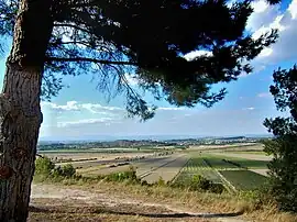
Montady (French pronunciation: [mɔ̃tadi]; Occitan: Montadin) is a commune in the Hérault department in the Occitanie region in southern France.
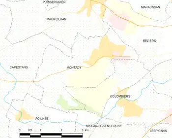
Map
Population
|
| ||||||||||||||||||||||||||||||||||||||||||||||||||||||
| Source: EHESS[3] and INSEE (1968-2017)[4] | |||||||||||||||||||||||||||||||||||||||||||||||||||||||
See also
References
- ↑ "Répertoire national des élus: les maires". data.gouv.fr, Plateforme ouverte des données publiques françaises (in French). 2 December 2020.
- ↑ "Populations légales 2021". The National Institute of Statistics and Economic Studies. 28 December 2023.
- ↑ Des villages de Cassini aux communes d'aujourd'hui: Commune data sheet Montady, EHESS (in French).
- ↑ Population en historique depuis 1968, INSEE
Wikimedia Commons has media related to Montady.
This article is issued from Wikipedia. The text is licensed under Creative Commons - Attribution - Sharealike. Additional terms may apply for the media files.