Molas | |
|---|---|
.svg.png.webp) Coat of arms | |
Location of Molas | |
 Molas 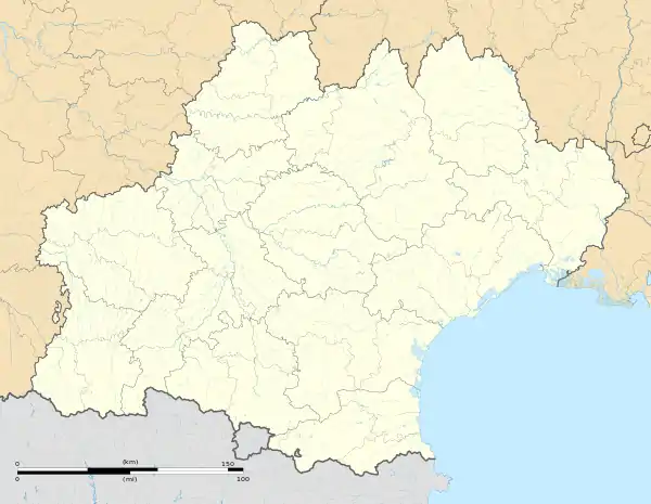 Molas | |
| Coordinates: 43°24′02″N 0°46′50″E / 43.4006°N 0.7806°E | |
| Country | France |
| Region | Occitania |
| Department | Haute-Garonne |
| Arrondissement | Saint-Gaudens |
| Canton | Cazères |
| Intercommunality | Cœur et Coteaux du Comminges |
| Government | |
| • Mayor (2020–2026) | Joëlle Medous[1] |
| Area 1 | 10.43 km2 (4.03 sq mi) |
| Population | 165 |
| • Density | 16/km2 (41/sq mi) |
| Time zone | UTC+01:00 (CET) |
| • Summer (DST) | UTC+02:00 (CEST) |
| INSEE/Postal code | 31347 /31230 |
| Elevation | 192–301 m (630–988 ft) (avg. 198 m or 650 ft) |
| 1 French Land Register data, which excludes lakes, ponds, glaciers > 1 km2 (0.386 sq mi or 247 acres) and river estuaries. | |
Molas is a commune in the Haute-Garonne department in southwestern France.
Geography
The river Gesse flows northeast through the eastern part of the commune.
Population
| Year | Pop. | ±% |
|---|---|---|
| 1962 | 149 | — |
| 1968 | 162 | +8.7% |
| 1975 | 136 | −16.0% |
| 1982 | 134 | −1.5% |
| 1990 | 121 | −9.7% |
| 1999 | 146 | +20.7% |
| 2008 | 170 | +16.4% |
See also
References
- ↑ "Répertoire national des élus: les maires". data.gouv.fr, Plateforme ouverte des données publiques françaises (in French). 9 August 2021.
- ↑ "Populations légales 2021". The National Institute of Statistics and Economic Studies. 28 December 2023.
Wikimedia Commons has media related to Molas (Haute-Garonne).
This article is issued from Wikipedia. The text is licensed under Creative Commons - Attribution - Sharealike. Additional terms may apply for the media files.