May Tsebri
ማይ ፀብሪ | |
|---|---|
Town | |
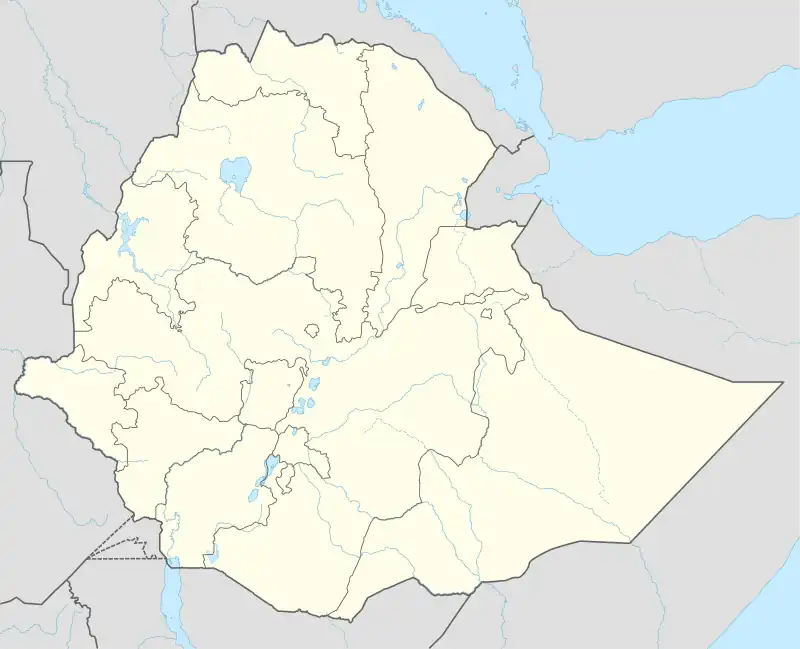 May Tsebri Location within Ethiopia | |
| Coordinates: 13°33′42″N 38°07′53″E / 13.561605056995115°N 38.1313924146128°E | |
| Country | |
| Region | |
| Zone | Northwestern Zone |
| Woreda | May Tsebri Town |
| Elevation | 1,438 m (4,718 ft) |
| Population (2020) | |
| • Total | 20,813[1] |
| Time zone | UTC+3 (EAT) |
May Tsebri(Ge'ez: ማይ ፀብሪ), is a town in the Tigray Region of Ethiopia located at 873 km north of Addis Ababa and 329 km west of Mekelle along the highway which runs from Shire to Gondar.[2] The town is also the administrative center of the Tselemti woreda (district).
Economy
The town's economy is agriculturally focused.
References
- ↑ "Supplimentary file for War-related sexual and gender-based violence in Tigray, Northern Ethiopia: a community-based study" (PDF), gh.bmj.com, 1 July 2023, retrieved July 23, 2023
- ↑ https://www.getamap.net/maps/ethiopia/(et02)/_maytsebri/
This article is issued from Wikipedia. The text is licensed under Creative Commons - Attribution - Sharealike. Additional terms may apply for the media files.