Mauk, Georgia | |
|---|---|
 | |
 Mauk  Mauk | |
| Coordinates: 32°30′5.9″N 84°25′16″W / 32.501639°N 84.42111°W | |
| Country | United States |
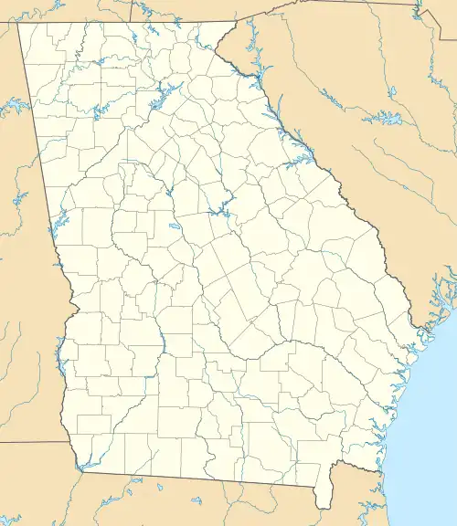
| State | Georgia |
| County | Taylor |
| Elevation | 781 ft (238 m) |
| Time zone | UTC-5 (Eastern (EST)) |
| • Summer (DST) | UTC-4 (EDT) |
| ZIP code | 31058 |
| Area code | 478 |
| GNIS feature ID | 0317801[1] |
Mauk is an unincorporated community in Taylor County, Georgia, United States.[2] It lies approximately 12 km south of Junction City.
History
The Georgia General Assembly incorporated Mauk as a town in 1913.[3] The town's municipal charter was repealed in 1939.[4]
Gallery
.JPG.webp) Mauk Post Office (ZIP code: 31058)
Mauk Post Office (ZIP code: 31058)_Mauk%252C_GA.JPG.webp) Old Mauk schoolhouse, placed on the National Register of Historic Places on December 30, 2008.
Old Mauk schoolhouse, placed on the National Register of Historic Places on December 30, 2008.
References
- ↑ "US Board on Geographic Names". United States Geological Survey. October 25, 2007. Retrieved January 31, 2008.
- ↑ "Feature Detail Report for: Mauk". US Geological Survey. Retrieved December 10, 2010.
- ↑ Acts Passed by the General Assembly of Georgia. J. Johnston. 1913. p. 1011.
- ↑ Krakow, Kenneth K. (1975). Georgia Place-Names: Their History and Origins (PDF). Macon, GA: Winship Press. p. 145. ISBN 0-915430-00-2.
Municipalities and communities of Taylor County, Georgia, United States | ||
|---|---|---|
| City | 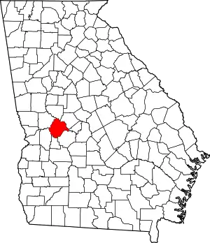 Map of Georgia highlighting Taylor County | |
| Town | ||
| CDP | ||
| Unincorporated communities | ||
This article is issued from Wikipedia. The text is licensed under Creative Commons - Attribution - Sharealike. Additional terms may apply for the media files.