Mathagadi Rural Municipality
माथागढी गाउँपालिका | |
|---|---|
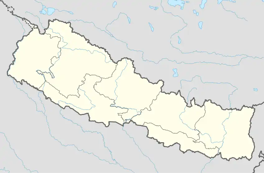 Mathagadi Rural Municipality Location in Nepal | |
| Coordinates: 27°46′12″N 83°40′10″E / 27.769899°N 83.669408°E | |
| Country | |
| Province | Lumbini Province |
| District | Palpa District |
| Area | |
| • Total | 215 km2 (83 sq mi) |
| Population | |
| • Total | 25,017 |
| • Density | 120/km2 (300/sq mi) |
| Time zone | UTC+5:45 (Nepal Time) |
| Website | http://mathagadhimun.gov.np/ |
Mathagadi Rural Municipality (Nepali :माथागढी गाउँपालिका) is a Gaunpalika in Palpa District in Lumbini Province of Nepal. On 12 March 2017, the government of Nepal implemented a new local administrative structure, with the implementation of the new local administrative structure, VDCs have been replaced with municipal and Village Councils. Mathagadi is one of these 753 local units.[1]
References
- ↑ "निस्दी गाउँपालिका गाउँकार्यपालिकाकाे कार्यालय प्रदेश नं -५ | "शिक्षा, स्वास्थ्य र रोजगार पर्यटन सहितको पुर्वाधार, प्रकृती र मगर सस्कृती निस्दीको आधार ।"". nisdimun.gov.np. Retrieved 2020-07-08.
This article is issued from Wikipedia. The text is licensed under Creative Commons - Attribution - Sharealike. Additional terms may apply for the media files.