Matadakurubarahatti | |
|---|---|
village | |
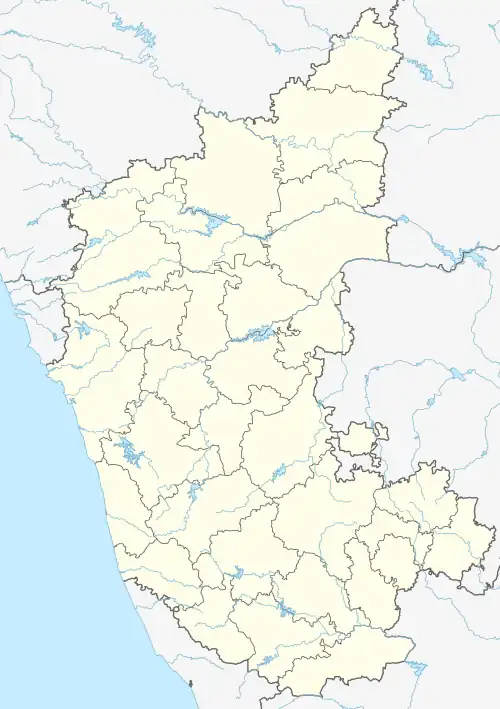 Matadakurubarahatti Location in Karnataka, India  Matadakurubarahatti Matadakurubarahatti (India) | |
| Coordinates: 14°13′N 76°24′E / 14.22°N 76.40°E | |
| Country | |
| State | Karnataka |
| District | Chitradurga |
| Talukas | Chitradurga |
| Government | |
| • Type | Town Municipal Council |
| • Body | Matadakurubarahatti Town Panchayat |
| Area | |
| • Total | 5 km2 (2 sq mi) |
| Population (2011) | |
| • Total | 5,884 |
| • Density | 1,268/km2 (3,280/sq mi) |
| Languages | |
| • Official | Kannada |
| Time zone | UTC+5:30 (IST) |
Matadakurubarahatti is a census town in Chitradurga district in the south Indian state of Karnataka.[1][2]
Demographics
As of 2001 India census, Matadakurubarahatti had a population of 5176 with 2905 males and 2271 females.[1]
See also
References
- 1 2 Village code= 984500 "Census of India : Villages with population 5000 & above". Registrar General & Census Commissioner, India. Archived from the original on 8 December 2008. Retrieved 18 December 2008.
- ↑ "Yahoomaps India :". Archived from the original on 18 December 2008. Retrieved 18 December 2008. Matadakurubarahatti, Chitradurga, Karnataka
External links
District HQ: Chitradurga | |
| Villages and Towns |
|
This article is issued from Wikipedia. The text is licensed under Creative Commons - Attribution - Sharealike. Additional terms may apply for the media files.