Masari
| |
|---|---|
 Masari | |
| Coordinates: 35°11′10″N 33°04′29″E / 35.18611°N 33.07472°E | |
| Country (de jure) | |
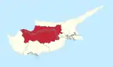
| • District | Nicosia District |
| Country (de facto) | |
| • District | Güzelyurt District |
| Population (2011)[2] | |
| • Total | 189 |
| Time zone | UTC+2 (EET) |
| • Summer (DST) | UTC+3 (EEST) |
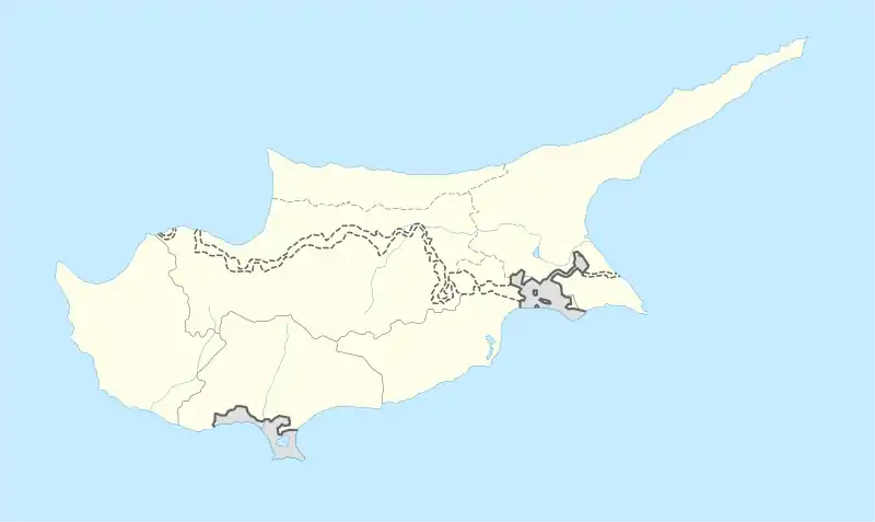
Masari (Greek: (το) Μάσαρι; Turkish: Şahinler) is a small village in Cyprus, east of Morphou. De facto, it is under the control of Northern Cyprus.
References
- ↑ In 1983, the Turkish Republic of Northern Cyprus unilaterally declared independence from the Republic of Cyprus. The de facto state is not recognised by any UN state except Turkey.
- ↑ "KKTC 2011 Nüfus ve Konut Sayımı" [TRNC 2011 Population and Housing Census] (PDF). TRNC State Planning Organization. 6 August 2013. p. 22. Archived from the original (PDF) on 6 November 2013.
| Settlements | 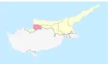 | |
|---|---|---|
This article is issued from Wikipedia. The text is licensed under Creative Commons - Attribution - Sharealike. Additional terms may apply for the media files.