Marripalem | |
|---|---|
Neighbourhood | |
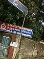
 Marripalem railway station signboard | |
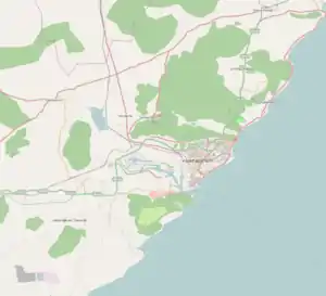 Marripalem Location in Visakhapatnam | |
| Coordinates: 17°44′27″N 83°15′05″E / 17.740763°N 83.251378°E | |
| Country | |
| State | Andhra Pradesh |
| District | Visakhapatnam |
| Government | |
| • Body | Greater Visakhapatnam Municipal Corporation |
| Languages | |
| • Official | Telugu |
| Time zone | UTC+5:30 (IST) |
| PIN | 530018 |
| Vehicle registration | AP |
Marripalem is a neighbourhood area in Visakhapatnam. It is a residential area in the city. It has many population settlements with high raised buildings and apartments.
Commercial Area
Marripalem is a commercial center with many kinds of shops, markets, and hospitals.
Transport
There is a railway quarters and a passenger halt station. Ordinary trains do not halt at this station. It is very near to Visakhapatnam railway station. Now it will develop as a terminal station. Marripalem is a part of BRTS corridor from Dwaraka bus station to Pendurthi.
Gallery
 RPF post at Marripalem
 Railway Tracks near Marripalem
[1]
References
This article is issued from Wikipedia. The text is licensed under Creative Commons - Attribution - Sharealike. Additional terms may apply for the media files.