| Mantasoa Dam | |
|---|---|
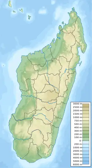 Location of Mantasoa Dam in Madagascar | |
| Country | Madagascar |
| Location | Mantasoa, Analamanga Region |
| Coordinates | 19°01′04.39″S 47°50′59.43″E / 19.0178861°S 47.8498417°E |
| Purpose | Power, water supply |
| Status | Operational |
| Construction began | 1937 |
| Opening date | 1938 |
| Owner(s) | Jirama |
| Dam and spillways | |
| Type of dam | Buttress |
| Impounds | Varahina-North River |
| Height | 20 m (66 ft) |
| Length | 122 m (400 ft) |
| Reservoir | |
| Creates | Lake Mantasoa |
| Total capacity | 125,000,000 m3 (101,000 acre⋅ft) |
| Surface area | 20 km2 (7.7 sq mi) |
Mantasoa Dam is a buttress dam on the Varahina-North River, a tributary of the Ikopa River, near Mantasoa in the Analamanga Region of Madagascar. The dam was constructed by French contractors between 1937 and 1938. It creates Lake Mantasoa which has a surface area of 20 km2 (7.7 sq mi). The dam itself is made of 8,000 m3 (10,000 cu yd) of concrete and has a reinforced buttress design.[1] Water released from the dam supplies a regulated flow to hydroelectric power station at the Antelomita Dams downstream. A saddle dam on the north side of the Mantosoa reservoir regulates water flow into the Mandraka River for the Mandraka Dam downstream.[2][3]
See also
- Tsiazompaniry Dam – on the Varahina South River
References
- ↑ "The French civil engineering works in the world dams 1860-2012" (PDF). IESF. Archived from the original (PDF) on 18 March 2014. Retrieved 17 March 2014.
- ↑ "Mantasoa and lake". Mantasoa. Retrieved 17 March 2014.
{{cite web}}: Check|url=value (help) - ↑ "Dams of Madagascar". UN FAO. Archived from the original on 5 September 2013. Retrieved 17 March 2014.
This article is issued from Wikipedia. The text is licensed under Creative Commons - Attribution - Sharealike. Additional terms may apply for the media files.