Manlio Fabio Altamirano | |
|---|---|
City and municipality | |
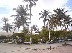 Manlio Fabio Altamirano main plaza | |
 Manlio Fabio Altamirano 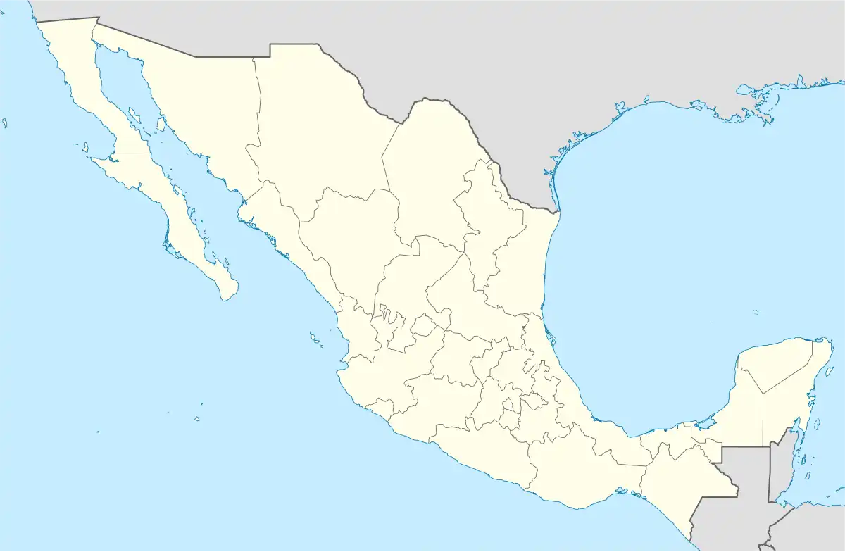 Manlio Fabio Altamirano | |
| Coordinates: 19°06′01″N 96°20′28″W / 19.10028°N 96.34111°W | |
| Country | |
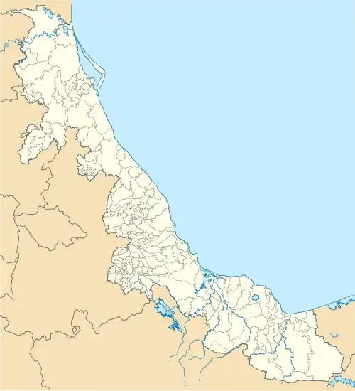
| State | Veracruz |
| Region | Sotavento Region |
| Government | |
| • Mayor | Ana Lilia Arrieta Gutiérrez (MORENA) |
| Area | |
| • Total | 246.8 km2 (95.3 sq mi) |
| Population | |
| • Total | 23,918 |
| • Density | 96.9/km2 (251/sq mi) |
| • Seat | 6,084 |
| Time zone | UTC-6 (CST) |
| • Summer (DST) | UTC-5 (CDT) |
| Website | Official Website |
| Year | Pop. | ±% |
|---|---|---|
| 1995 | 20,562 | — |
| 2000 | 20,580 | +0.1% |
| 2005 | 20,374 | −1.0% |
| 2010 | 22,585 | +10.9% |
| 2015 | 23,404 | +3.6% |
| 2020 | 23,918 | +2.2% |
| [1] | ||
Manlio Fabio Altamirano (also, Manlio Favio Altamirano and Altamirano) is a town in the Mexican state of Veracruz. It serves as the municipal seat for the surrounding municipality of the same name. As 2020 the municipality had a population of 23,918, about 25 % resides in the municipal seat (6,084 hab.)[1]. Other localities includes Mata Loma (2,121 hab.), Tenenexpan (2,050 hab.), Loma de los Carmona (1,183 hab.) and El Sauce (865 hab.).[1]
References
- 1 2 3 Censo Coatzintla 2020 CEEIG
External links
- (in Spanish) Municipal Official Site
- (in Spanish) Municipal Official Information
This article is issued from Wikipedia. The text is licensed under Creative Commons - Attribution - Sharealike. Additional terms may apply for the media files.