Mankara | |
|---|---|
village | |
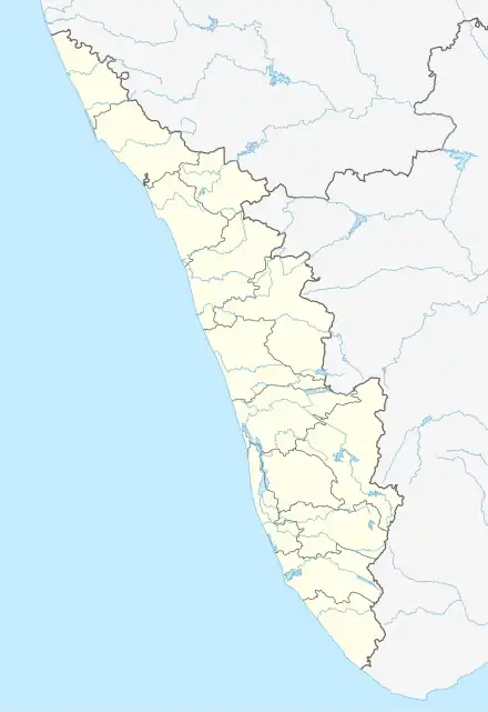 Mankara Location in Kerala, India  Mankara Mankara (India) | |
| Coordinates: 10°45′0″N 76°26′0″E / 10.75000°N 76.43333°E | |
| Country | |
| State | Kerala |
| District | Palakkad |
| Population (2001) | |
| • Total | 17,787 |
| Languages | |
| • Official | Malayalam, English |
| Time zone | UTC+5:30 (IST) |
| PIN | 678613 |
| Telephone code | 049128722XX |
| Vehicle registration | KL-9 |
| Coastline | 0 kilometres (0 mi) |
| Nearest city | Pathiripala |
| Lok Sabha constituency | Palakkad |
| Vidhan Sabha constituency | Palakkad |
| Climate | Tropical monsoon (Köppen) |
| Avg. summer temperature | 35 °C (95 °F) |
| Avg. winter temperature | 20 °C (68 °F) |
Mankara is a village and gram panchayat in Palakkad district in the state of Kerala, India.[1]
Demographics
As of 2001 India census, Mankara had a population of 17,787 with 8,624 males and 9,163 females.[2] This Grama Panchayat has a Family Health Center at Vellarode,a Government Homoeo Dispensary at Mankurissy (Kallur Road) and a Sidha,an Ayurveda Dispensaries each in State Government Sector for health care.
References
- ↑ "Reports of National Panchayat Directory". Ministry of Panchayati Raj. Archived from the original on 1 January 2014. Retrieved 31 December 2013.
- ↑ "Census of India : Villages with population 5000 & above". Registrar General & Census Commissioner, India. Archived from the original on 8 December 2008. Retrieved 10 December 2008.
External links
www.homoeopathy.kerala.gov
This article is issued from Wikipedia. The text is licensed under Creative Commons - Attribution - Sharealike. Additional terms may apply for the media files.