Maneri | |
|---|---|
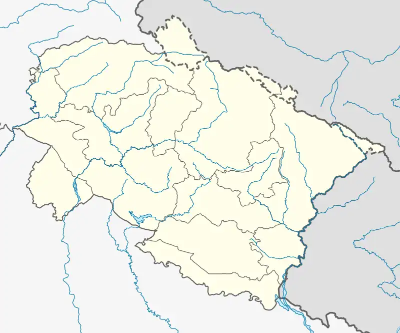 Maneri Location in Uttarakhand, India  Maneri Maneri (India) | |
| Coordinates: 30°44′21″N 78°31′43″E / 30.73917°N 78.52861°E | |
| Country | |
| State | Uttarakhand |
| District | Uttarkashi |
| Population (2011) | |
| • Total | 1,270[1] |
| Languages | |
| • Official | Hindi, Garhwali |
| Time zone | UTC+5:30 (IST) |
| Telephone code | 01374 |
| Vehicle registration | UK10 |
| Website | uk |
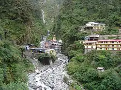
Maneri is a town in Uttarakhand, India. Situated on the banks of river Bhagirathi 8 km north of Uttarkashi, it is the home of Maneri Dam and the terminating railway station on Chota Char Dham Railway nearest to Gangotri.[2]
Geography
Maneri is located nearby Yamuna and Ganges (Bhagirathi) rivers, originating at Yamunotri and Gangotri (Gomukh) respectively.
Demographics
As of 2001 India census, Maneri village has 299 families with a total population of 1271, of which 697 are males while 574 are females.[1]
Places of interest
Yamunotri temple, one of holiest shrines of Hinduism lies in the district, as does its source
- Dodital: One of the popular fresh water lake in Uttarkashi. 21 km trek to Dodital starts from Sangamchatti.
- Tiloth Power Plant
- Maneri Dam
- Bhali Dam
- Nachiketa Tal
- Kuteti Devi temple
- Gyansu and Palla Gyansu
- Joshiyara
- Matli
- Mahidanda[3]
Adventure sports
- White water rafting
- Trekking tracks
- Mountaineering
See also
References
External links
This article is issued from Wikipedia. The text is licensed under Creative Commons - Attribution - Sharealike. Additional terms may apply for the media files.