Manara, Ohio | |
|---|---|
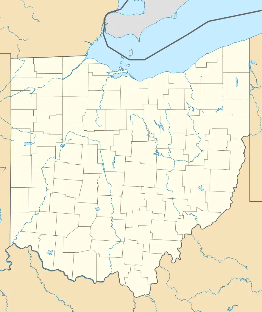 Manara Location of Manara, Ohio  Manara Manara (the United States) | |
| Coordinates: 39°36′09″N 83°18′47″W / 39.60250°N 83.31306°W | |
| Country | United States |
| State | Ohio |
| Counties | Fayette |
| Township | Marion |
| Elevation | 899 ft (274 m) |
| Time zone | UTC-5 (Eastern (EST)) |
| • Summer (DST) | UTC-4 (EDT) |
| ZIP code | 43145 |
| Area code | 740 |
| GNIS feature ID | 1062871[1] |
Manara is an unincorporated community in Marion Township, Fayette County, Ohio, United States. It is located at 39°36′09″N 83°18′47″W / 39.60250°N 83.31306°W,[2] at the intersection of Washington-Waterloo Road (Fayette County Highway 35) and Bloomingburg-New Holland Road (Fayette County Highway 27).[3]
History
Manara was laid out at the crossroads of two turnpikes.[4] A post office called Manara was established in 1889, and remained in operation until 1902.[5]
 Manara community sign
 Intersection of Washington-Waterloo Road and Bloomingburg-New Holland Road in Manara, Ohio
References
- 1 2 "US Board on Geographic Names". United States Geological Survey. October 25, 2007. Retrieved January 31, 2008.
- ↑ U.S. Geological Survey Geographic Names Information System: Manara, Ohio
- ↑ Rand McNally. The Road Atlas '06. Chicago: Rand McNally, 2006, 80.
- ↑ Allen, Frank M. (1914). History of Fayette County, Ohio: Her People, Industries and Institutions. B. F. Bowen, Incorporated. p. 329.
- ↑ "Fayette County". Jim Forte Postal History. Retrieved December 13, 2015.
Municipalities and communities of Fayette County, Ohio, United States | ||
|---|---|---|
| City | 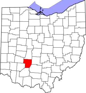 Map of Ohio highlighting Fayette County | |
| Villages | ||
| Townships | ||
| CDPs | ||
| Unincorporated communities |
| |
| Footnotes | ‡This populated place also has portions in an adjacent county or counties | |
This article is issued from Wikipedia. The text is licensed under Creative Commons - Attribution - Sharealike. Additional terms may apply for the media files.