Mahdia Airport | |||||||||||
|---|---|---|---|---|---|---|---|---|---|---|---|
 | |||||||||||
| Summary | |||||||||||
| Serves | Mahdia | ||||||||||
| Elevation AMSL | 300 ft / 91 m | ||||||||||
| Coordinates | 5°16′10″N 59°08′50″W / 5.26944°N 59.14722°W | ||||||||||
| Map | |||||||||||
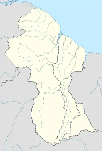 MHA Location in Guyana | |||||||||||
| Runways | |||||||||||
| |||||||||||
Mahdia Airport (IATA: MHA, ICAO: SYMD) is an airport serving the village of Mahdia, in the Potaro-Siparuni Region of Guyana.
See also
References
- ↑ Google Maps - Mahdia
- ↑ Airport information for MHA at Great Circle Mapper.
- ↑ SkyVector Aeronautical Charts
External links
Wikimedia Commons has media related to Mahdia Airport.
This article is issued from Wikipedia. The text is licensed under Creative Commons - Attribution - Sharealike. Additional terms may apply for the media files.