| Lower Lyde | |
|---|---|
 Crops at Lower Lyde Farm | |
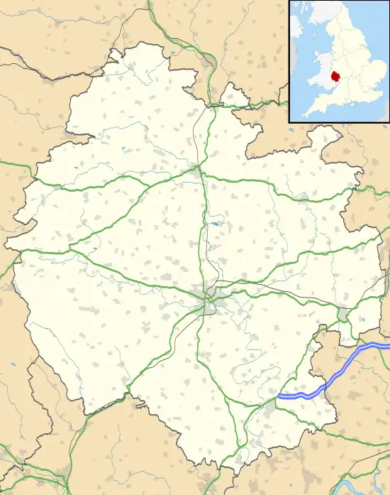 Lower Lyde Location within Herefordshire | |
| Civil parish | |
| Unitary authority | |
| Ceremonial county | |
| Region | |
| Country | England |
| Sovereign state | United Kingdom |
| Post town | Hereford |
| Postcode district | HR4 |
| Dialling code | 01432 |
| Police | West Mercia |
| Fire | Hereford and Worcester |
| Ambulance | West Midlands |
| UK Parliament | |
Lower Lyde is a small village in Herefordshire, around 3 miles (5 km) north of Hereford city centre. It forms part of the Pipe and Lyde civil parish. The village can be easily accessed from the A49 road.[1]
The main buildings are Lower Lyde Farm and Lower Lyde Court, a venue for weddings and performing arts events.[2]
In the valley below the village are the River Lugg, the Welsh Marches railway line and the Wergins Stone, a prehistoric standing stone.[1][3]
References
- 1 2 Hereford and Ross-on-Wye (Explorer Maps) (A2 ed.), Ordnance Survey, 2009, ISBN 9780319240977
- ↑ "Lyde Court". Lyde Court. Retrieved 19 January 2014.
- ↑ "Herefordshire through Time - Wergins Stone". Herefordshire Council. Archived from the original on 2 February 2014. Retrieved 19 January 2014.
This article is issued from Wikipedia. The text is licensed under Creative Commons - Attribution - Sharealike. Additional terms may apply for the media files.