Lothair, Montana | |
|---|---|
 Lothair  Lothair | |
| Coordinates: 48°28′18″N 111°13′56″W / 48.47167°N 111.23222°W | |
| Country | United States |
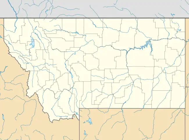
| State | Montana |
| County | Liberty |
| Elevation | 3,320 ft (1,010 m) |
| Time zone | UTC-7 (Mountain (MST)) |
| • Summer (DST) | UTC-6 (MDT) |
| ZIP code | 59461 |
| Area code | 406 |
| GNIS feature ID | 773709[1] |
Lothair is an unincorporated community in Liberty County, Montana, United States. Lothair is located on U.S. Route 2 and the Hi-Line, 12.5 miles (20.1 km) west of Chester. The community had a post office until December 17, 2005; it still has its own ZIP code, 59461.[2][3]
Originally a station on the Great Northern Railway, Lothair became a town in 1910.[4]
References
- ↑ "Lothair". Geographic Names Information System. United States Geological Survey, United States Department of the Interior.
- ↑ United States Postal Service (2012). "USPS - Look Up a ZIP Code". Retrieved February 15, 2012.
- ↑ "Postmaster Finder - Post Offices by ZIP Code". United States Postal Service. Retrieved July 8, 2014.
- ↑ "Lothair". Montana Place Names Companion. Montana Historical Society. Retrieved April 5, 2021.
Municipalities and communities of Liberty County, Montana, United States | ||
|---|---|---|
| Town | 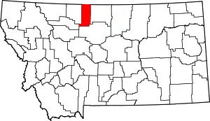 Liberty County map | |
| CDPs | ||
| Unincorporated communities | ||
| Indian reservation | ||
| Footnotes | ‡This populated place also has portions in an adjacent county or counties | |
This article is issued from Wikipedia. The text is licensed under Creative Commons - Attribution - Sharealike. Additional terms may apply for the media files.