Loiron | |
|---|---|
Part of Loiron-Ruillé | |
.jpg.webp) The church of Saint-Gervais and Saint-Protais | |
 Coat of arms | |
Location of Loiron | |
 Loiron 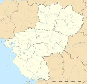 Loiron | |
| Coordinates: 48°03′36″N 0°56′02″W / 48.06°N 0.9339°W | |
| Country | France |
| Region | Pays de la Loire |
| Department | Mayenne |
| Arrondissement | Laval |
| Canton | Loiron |
| Commune | Loiron-Ruillé |
| Area 1 | 22.92 km2 (8.85 sq mi) |
| Population (2019)[1] | 1,740 |
| • Density | 76/km2 (200/sq mi) |
| Time zone | UTC+01:00 (CET) |
| • Summer (DST) | UTC+02:00 (CEST) |
| Postal code | 53320 |
| Elevation | 88–172 m (289–564 ft) (avg. 140 m or 460 ft) |
| 1 French Land Register data, which excludes lakes, ponds, glaciers > 1 km2 (0.386 sq mi or 247 acres) and river estuaries. | |
Loiron (French pronunciation: [lwaʁɔ̃]) is a former commune in the Mayenne department in north-western France. On 1 January 2016, it was merged into the new commune of Loiron-Ruillé.[2]
See also
Wikimedia Commons has media related to Loiron.
References
This article is issued from Wikipedia. The text is licensed under Creative Commons - Attribution - Sharealike. Additional terms may apply for the media files.