Log v Bohinju | |
|---|---|
 | |
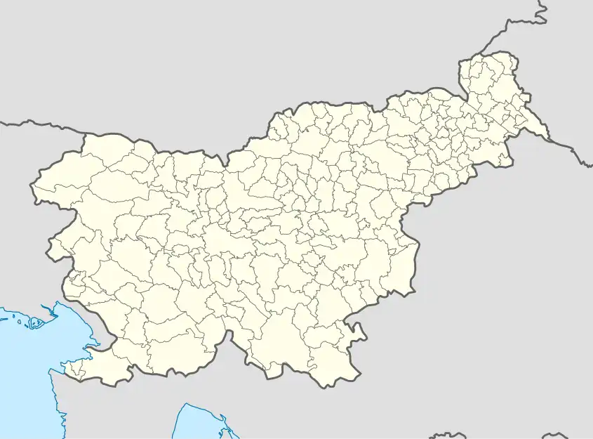 Log v Bohinju Location in Slovenia | |
| Coordinates: 46°17′12.48″N 13°58′47.29″E / 46.2868000°N 13.9798028°E | |
| Country | |
| Traditional region | Upper Carniola |
| Statistical region | Upper Carniola |
| Municipality | Bohinj |
| Elevation | 493.4 m (1,618.8 ft) |
| Population (2020) | |
| • Total | 12 |
| [1] | |
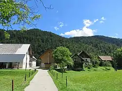
Log v Bohinju (pronounced [ˈlóːk w bɔˈxíːnju]) is a small settlement on the right bank of the Sava Bohinjka River in the Municipality of Bohinj in the Upper Carniola region of Slovenia.
Geography
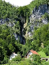
Pirašica Falls
Pirašica Falls (Slovene: Pirašiški slap, also slap Peračica and locally Pérošca) is located in the northwest part of Log v Bohinju. It is 102 meters (335 ft) high, and it is formed as the Pirašica River tumbles over a cliff southeast of Jereka in three stages.
History
Log v Bohinju was part of the village of Lepence until 1997, when it was made a village in its own right.[2]
References
- ↑ Statistical Office of the Republic of Slovenia
- ↑ "Naselje Log v Bohinju". Statistični urad Republike Slovenije. Retrieved August 8, 2021.
External links
 Media related to Log v Bohinju at Wikimedia Commons
- Log v Bohinju on Geopedia
| Settlements | Administrative seat: Bohinjska Bistrica
| 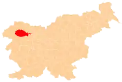 Location of the Municipality of Bohinj in Slovenia | ||||
|---|---|---|---|---|---|---|
| Landmarks |
| |||||
This article is issued from Wikipedia. The text is licensed under Creative Commons - Attribution - Sharealike. Additional terms may apply for the media files.