Locust Grove, Oregon | |
|---|---|
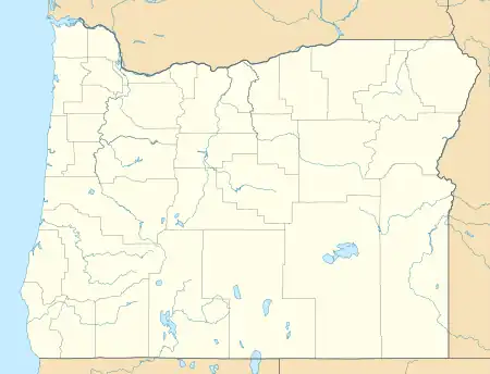
_(sheDA0064).jpg.webp) Locust Grove Church Gary Halvorson, Oregon State Archives | |
 Locust Grove, Oregon  Locust Grove, Oregon | |
| Coordinates: 45°35′55″N 120°47′20″W / 45.59861°N 120.78889°W | |
| Country | United States |
| State | Oregon |
| County | Sherman |
| Elevation | 1,115 ft (340 m) |
| Time zone | UTC-8 (Pacific (PST)) |
| • Summer (DST) | UTC-7 (PDT) |
| ZIP code | 97065 |
| Area code(s) | 458 and 541 |
Locust Grove is an unincorporated community and ghost town in Sherman County, Oregon, United States.[1] It is located on Oregon Route 206, six miles west of Wasco.
Established in 1895, the town's last burial occurred in 1914, and it has remained unoccupied since.[2]
References
- ↑ "Locust Grove". Geographic Names Information System. United States Geological Survey, United States Department of the Interior. November 28, 1980. Retrieved December 17, 2010.
- ↑ Varney, Phillip (2013). Ghost Towns of the Pacific Northwest: Your Guide to the Hidden History of Washington, Oregon, and British Columbia. Voyageur Press. ISBN 978-0760343166.
Municipalities and communities of Sherman County, Oregon, United States | ||
|---|---|---|
| Cities | 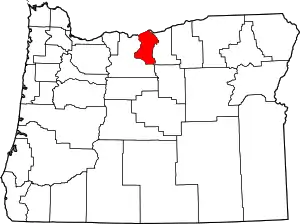 Sherman County map | |
| CDP | ||
| Other communities | ||
| Indian reservation | ||
| Footnotes | ‡This populated place also has portions in an adjacent county or counties | |
This article is issued from Wikipedia. The text is licensed under Creative Commons - Attribution - Sharealike. Additional terms may apply for the media files.