Locmaria
Lokmaria-ar-Gerveur | |
|---|---|
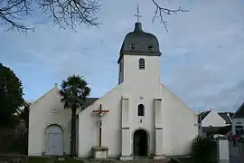 The church in Locmaria | |
Location of Locmaria | |
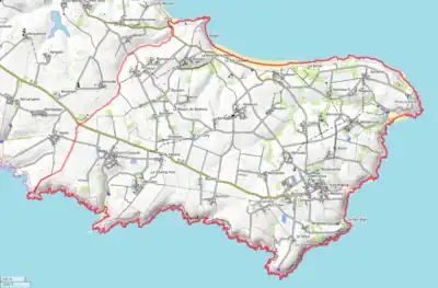
 Locmaria  Locmaria | |
| Coordinates: 47°17′42″N 3°04′57″W / 47.295°N 3.0825°W | |
| Country | France |
| Region | Brittany |
| Department | Morbihan |
| Arrondissement | Lorient |
| Canton | Quiberon |
| Intercommunality | Belle-Île-en-Mer |
| Government | |
| • Mayor (2020–2026) | Dominique Rousselot[1] |
| Area 1 | 20.55 km2 (7.93 sq mi) |
| Population | 964 |
| • Density | 47/km2 (120/sq mi) |
| Time zone | UTC+01:00 (CET) |
| • Summer (DST) | UTC+02:00 (CEST) |
| INSEE/Postal code | 56114 /56360 |
| Elevation | 0–73 m (0–240 ft) |
| 1 French Land Register data, which excludes lakes, ponds, glaciers > 1 km2 (0.386 sq mi or 247 acres) and river estuaries. | |
Locmaria (French pronunciation: [lɔkmaʁja]; Breton: Lokmaria-ar-Gerveur) is a commune in the Morbihan department in Brittany in north-western France.[3] Locmaria is one of the four communes of Belle Île.
Toponymy
From the Breton loc which means hermitage (cf.: Locminé) and 'maria' which derive from Mary.
Demographics
Inhabitants of Locmaria are called in French Locmariaïstes.
Geography
The village occupies the eastern part of the island Belle-Île-en-Mer. Rocky cliffs, sometimes 50 meters high, surround the territory. On the north coast, stretches the beach Les Grands Sables.
Map
See also
References
- ↑ "Maires du Morbihan" (PDF). Préfecture du Morbihan. 7 July 2020.
- ↑ "Populations légales 2021". The National Institute of Statistics and Economic Studies. 28 December 2023.
- ↑ INSEE commune file
External links
Wikimedia Commons has media related to Locmaria.
- Official site (in French)
- Base Mérimée: Search for heritage in the commune, Ministère français de la Culture. (in French)
- Mayors of Morbihan Association (in French)
This article is issued from Wikipedia. The text is licensed under Creative Commons - Attribution - Sharealike. Additional terms may apply for the media files.