Likawage
| |
|---|---|
| Kata ya Likawage, Wilaya ya Kilwa | |
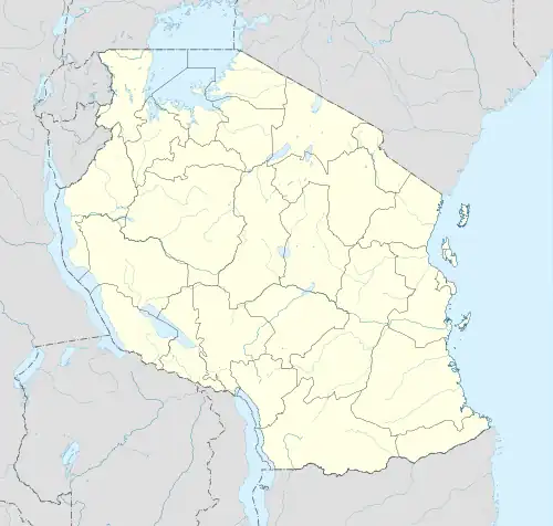 Likawage | |
| Coordinates: 9°14′6″S 39°0′17.64″E / 9.23500°S 39.0049000°E | |
| Country | |
| Region | Lindi Region |
| District | Kilwa District |
| Seat | Likawage Village |
| Area | |
| • Total | 1,679 km2 (648 sq mi) |
| Elevation | 165 m (541 ft) |
| Population (2012) | |
| • Total | 3,569 |
| • Density | 2.1/km2 (5.5/sq mi) |
| Ethnic groups | |
| • Settler | Swahili |
| • Native | Mwera |
| Tanzanian Postal Code | 65413 |
Likawage is an administrative ward in Kilwa District of Lindi Region in Tanzania. The ward covers an area of 1,679 km2 (648 sq mi),[1] and has an average elevation of 165 m (541 ft).[2] According to the 2012 census, the ward has a total population of 10,434.[3] The ward seat is Likawage village.[4]
References
- ↑ "Tanzania:Coastal Zone Tanzania (Districts and Wards) – Population Statistics, Charts and Map".
- ↑ "Likawage elevation".
- ↑ "2012 Population and Housing Census General Report" (PDF). Government of Tanzania. Retrieved 2022-03-26.
- ↑ "Kilwa District Profile" (PDF). Retrieved 2022-03-29.
This article is issued from Wikipedia. The text is licensed under Creative Commons - Attribution - Sharealike. Additional terms may apply for the media files.