Le Plessis-Grammoire | |
|---|---|
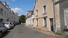 A street in the centre of Le Plessis-Grammoire | |
Location of Le Plessis-Grammoire | |
 Le Plessis-Grammoire 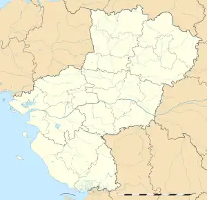 Le Plessis-Grammoire | |
| Coordinates: 47°30′04″N 0°25′43″W / 47.5011°N 0.4286°W | |
| Country | France |
| Region | Pays de la Loire |
| Department | Maine-et-Loire |
| Arrondissement | Angers |
| Canton | Angers-7 |
| Intercommunality | CU Angers Loire Métropole |
| Government | |
| • Mayor (2020–2026) | Philippe Abellard[1] |
| Area 1 | 9.14 km2 (3.53 sq mi) |
| Population | 2,622 |
| • Density | 290/km2 (740/sq mi) |
| Demonym(s) | Plessiais, Plessiaise |
| Time zone | UTC+01:00 (CET) |
| • Summer (DST) | UTC+02:00 (CEST) |
| INSEE/Postal code | 49241 /49124 |
| Elevation | 25–42 m (82–138 ft) (avg. 34 m or 112 ft) |
| 1 French Land Register data, which excludes lakes, ponds, glaciers > 1 km2 (0.386 sq mi or 247 acres) and river estuaries. | |
Le Plessis-Grammoire (French pronunciation: [lə plɛsi ɡʁamwaʁ] ⓘ) is a commune in the Maine-et-Loire department in western France.
Population
| Year | Pop. | ±% p.a. |
|---|---|---|
| 1968 | 780 | — |
| 1975 | 1,157 | +5.79% |
| 1982 | 1,545 | +4.22% |
| 1990 | 1,718 | +1.34% |
| 1999 | 2,013 | +1.78% |
| 2007 | 2,219 | +1.23% |
| 2012 | 2,295 | +0.68% |
| 2017 | 2,381 | +0.74% |
| Source: INSEE[3] | ||
See also
References
- ↑ "Répertoire national des élus: les maires" (in French). data.gouv.fr, Plateforme ouverte des données publiques françaises. 4 May 2022.
- ↑ "Populations légales 2021". The National Institute of Statistics and Economic Studies. 28 December 2023.
- ↑ Population en historique depuis 1968, INSEE
Wikimedia Commons has media related to Le Plessis-Grammoire.
This article is issued from Wikipedia. The text is licensed under Creative Commons - Attribution - Sharealike. Additional terms may apply for the media files.